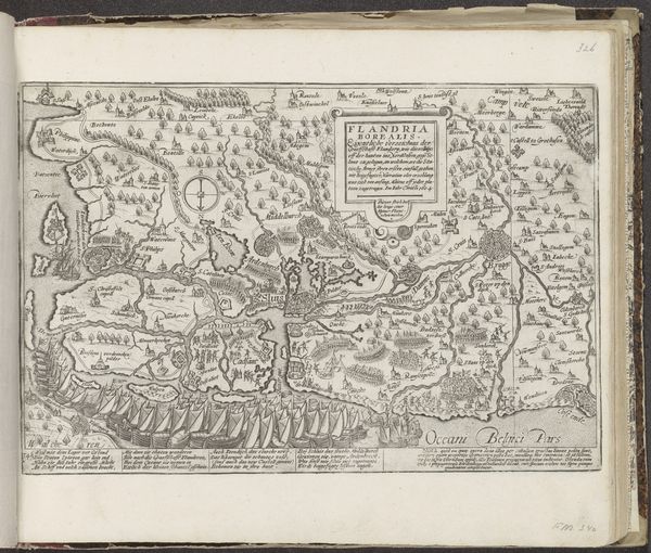
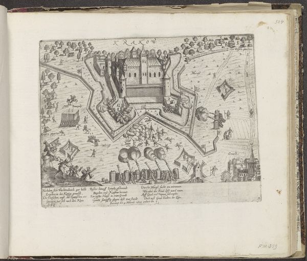
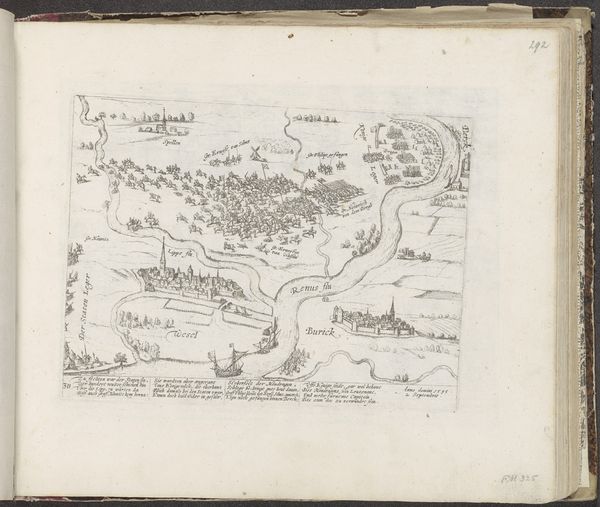
print, engraving
#
dutch-golden-age
# print
#
geometric
#
cityscape
#
islamic-art
#
engraving
Dimensions: height 215 mm, width 343 mm
Copyright: Rijks Museum: Open Domain
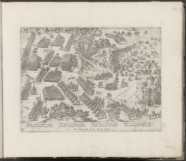
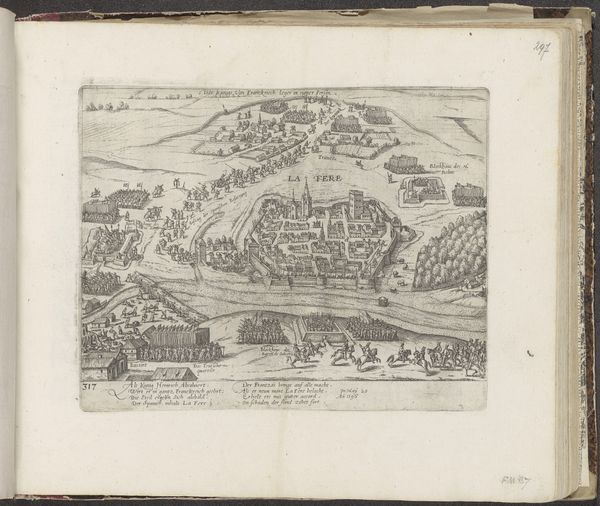
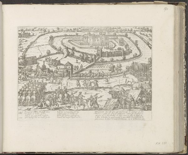
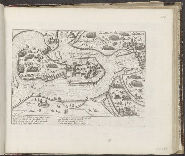
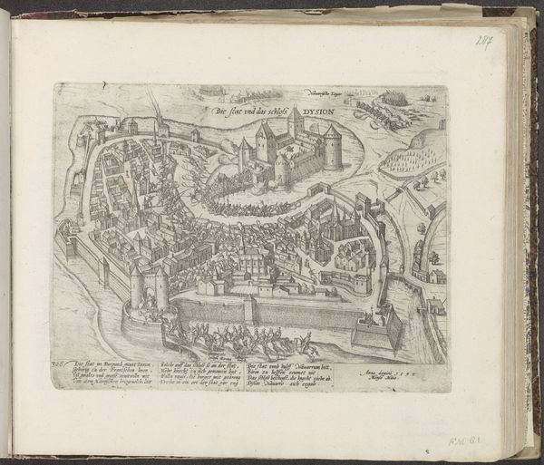
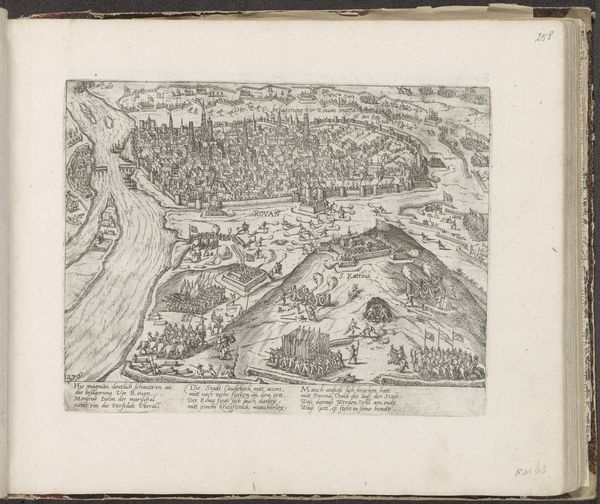
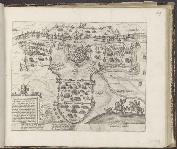
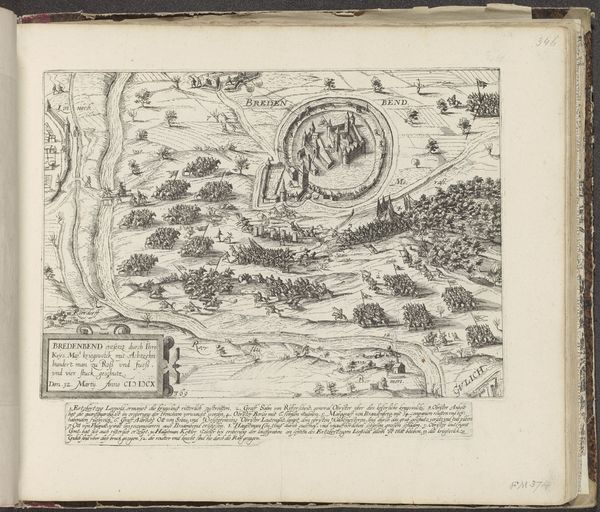
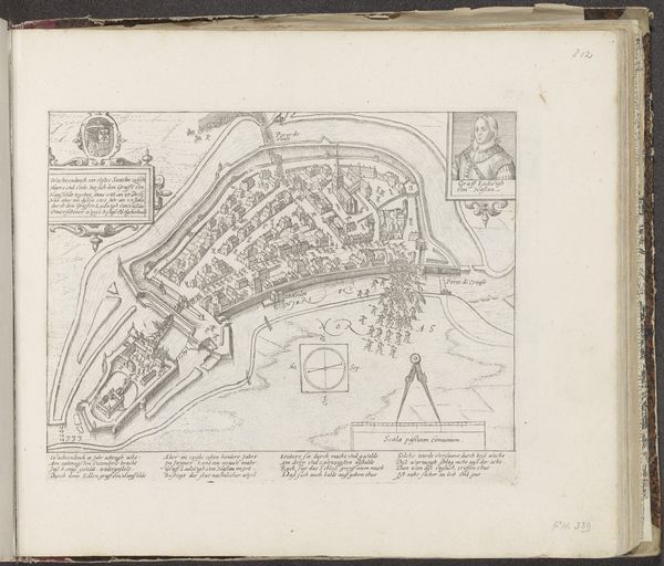
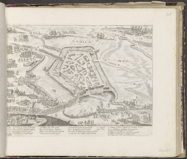
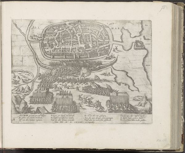
This map of Ostend was made in 1604 by Frans Hogenberg, using an engraving technique. Engraving is a labor-intensive process. The artist would have used a tool called a burin to carve lines directly into a metal plate, likely copper. The depth and density of these lines would then hold ink, which is transferred to paper under great pressure. Notice the intricate detail: the architecture, fortifications, and even human figures are rendered with remarkable precision, considering the scale. Maps like these were not just geographical tools. They were strategic assets, crucial for military planning and trade. The act of engraving itself, requiring specialized skill and time, imbued the image with authority. It speaks to the importance of accurate representation in an age of exploration, colonization, and conflict. The dense lines and textures evoke a sense of the city’s bustling activity. By focusing on the material and process, we see this map not only as a picture, but as a product of skilled labor, deeply embedded in the political and economic landscape of its time.
Comments
No comments
Be the first to comment and join the conversation on the ultimate creative platform.
More like this