drawing, print
#
drawing
# print
#
landscape
#
11_renaissance
#
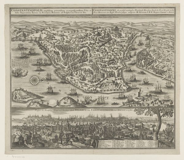
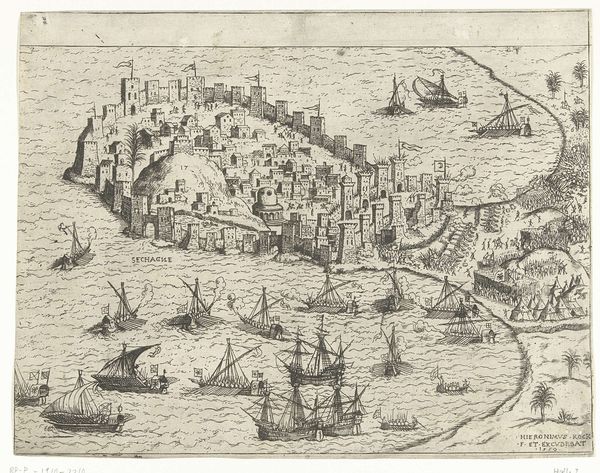
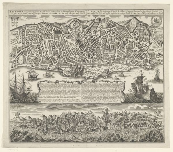
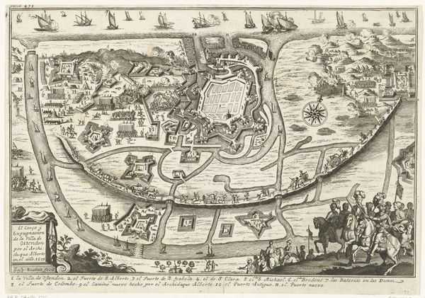
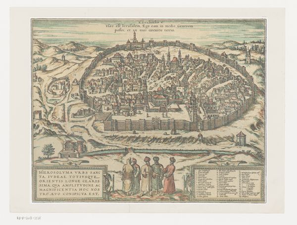
cityscape
Dimensions: Sheet: 15 3/8 in. × 20 in. (39.1 × 50.8 cm)
Copyright: Public Domain
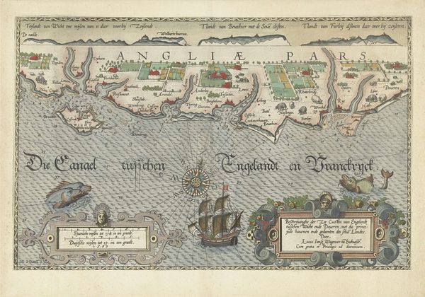
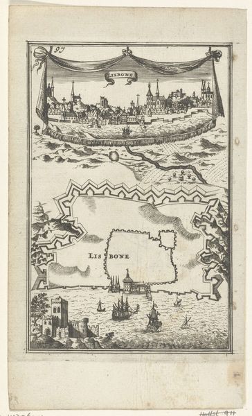
Curator: Here we have Georg Braun’s "Map of Alexandria," a print created around 1575, now residing here at The Met. Editor: It’s remarkably detailed. I am immediately struck by how systematically the artist employs a bird’s-eye view, the texture of the water contrasting nicely with the angular architecture of the city. Curator: Braun's "Civitates Orbis Terrarum," of which this is a part, served a crucial role. It provided Europeans visual access to a world still largely understood through textual descriptions. These weren't just pretty pictures; they were tools of empire and trade. Editor: I see what you mean. However, while this cityscape obviously reflects a period eye for detail and some documentary function, what resonates most is the interplay of the cool blues and greens of the surrounding areas with the reds and browns that dominate the architecture inside the walls. Curator: But what I find compelling is the intended audience, mostly European elites. Think of the power imbued in possessing such an image. Here is Alexandria, visually consumed and intellectually possessed from afar. It also signifies Alexandria's position at this historical point between decline and transition. Editor: Possession through visual depiction. It’s a bit unnerving to think about it that way, really. On one hand we marvel at the image and technique of it all. Yet, thinking of Alexandria as ‘possessed’ by European eyes—the color scheme and detail are definitely instruments in controlling this space, so to speak. Curator: Absolutely. And we must remember these images, meticulously crafted, influenced perceptions. For those who had never journeyed to Alexandria, or perhaps never would, this print became Alexandria. Its reality. Editor: So beyond an appealing composition of land and sea, Georg Braun crafted something more. A cultural lens, a filter influencing how his audience viewed, well, literally pictured a city, a culture, a history. Food for thought. Curator: Precisely, providing invaluable insight into the intertwined dynamics of cartography, power, and visual culture. Editor: Indeed, making a simple glance reveal something much larger.
Comments
No comments
Be the first to comment and join the conversation on the ultimate creative platform.
More like this