drawing, print, ink, engraving
#
drawing
#
baroque
#
mechanical pen drawing
# print
#
pen sketch
#
sketch book
#
landscape
#
personal sketchbook
#
ink
#
sketchwork
#
pen-ink sketch
#
pen work
#
sketchbook drawing
#
storyboard and sketchbook work
#
sketchbook art
#
engraving
Dimensions: height 420 mm, width 537 mm
Copyright: Rijks Museum: Open Domain
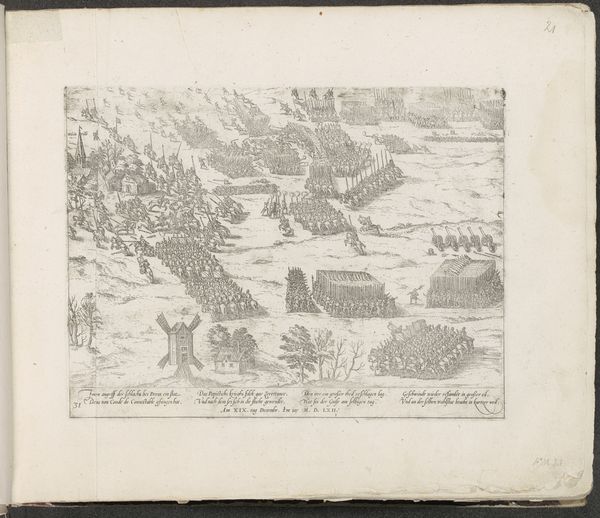
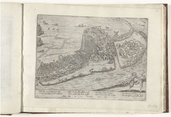
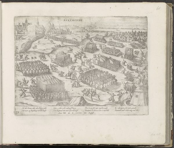
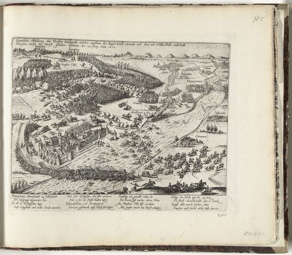
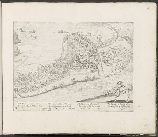
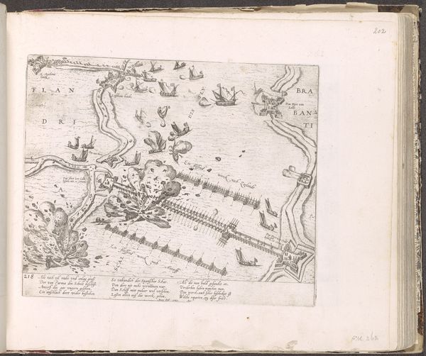
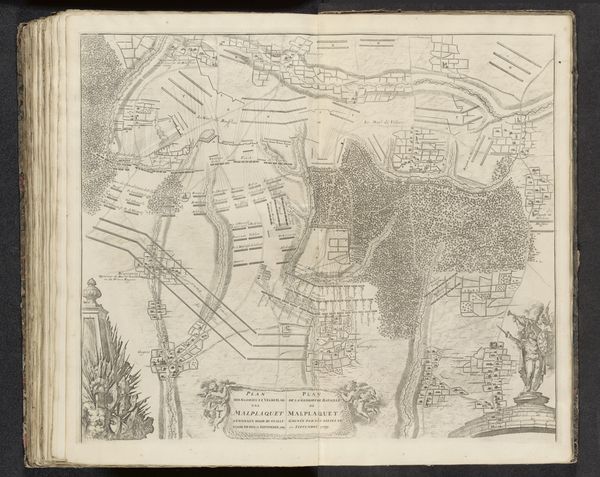
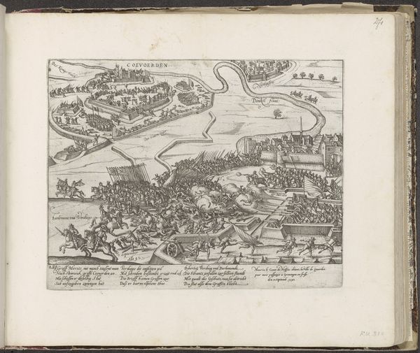
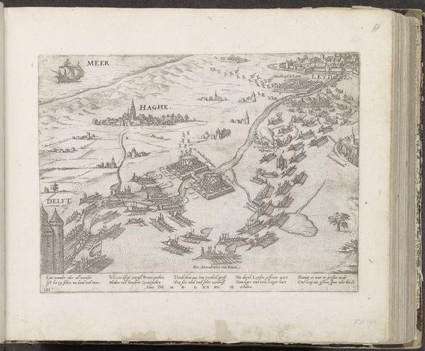
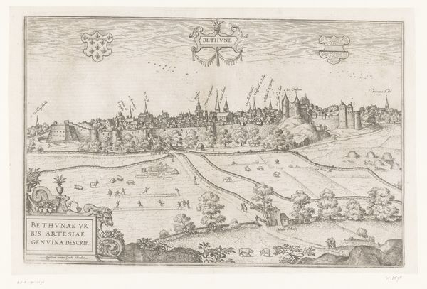
This map of the Paraiba coast was made in 1647 by Salomon Savery using engraving, a printmaking technique where lines are incised into a metal plate, which then holds the ink for printing. Engraving allowed for the precise rendering of geographical details, but also the social realities of the time. The map meticulously charts the coastline but also depicts settlements and figures, offering insights into the colonial presence and activities in the region. The process involved skilled labor in both the creation of the original design and the physical act of engraving. These maps were not just tools for navigation; they were instruments of power. Each line, each carefully placed name, was an assertion of control over territory and resources, embodying the economic and political ambitions of the Dutch West India Company. Looking closely, you can see how this one reflects both a careful technique and a colonial agenda.
Comments
No comments
Be the first to comment and join the conversation on the ultimate creative platform.
