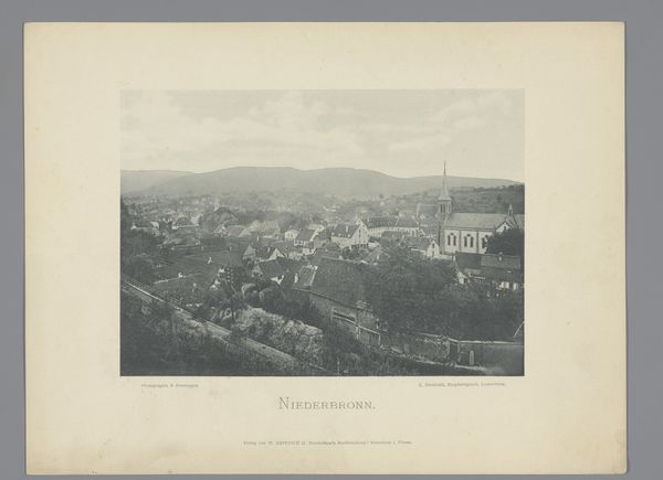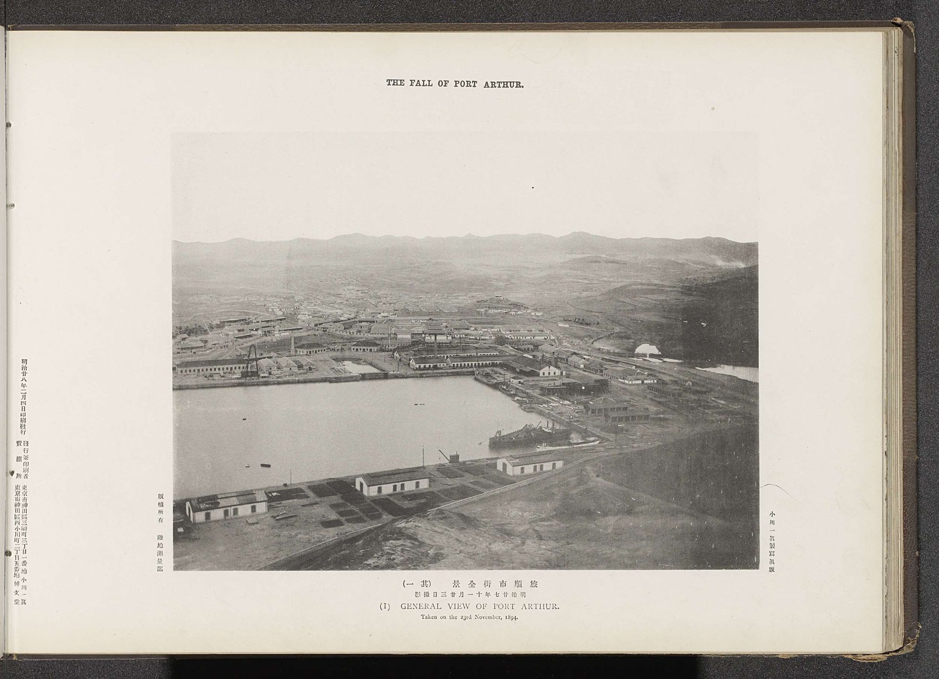
About this artwork
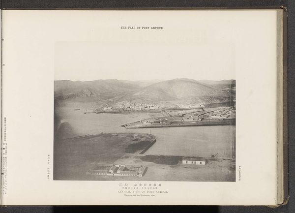
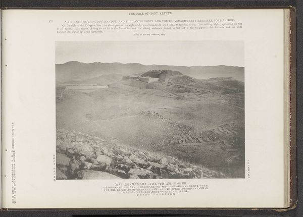
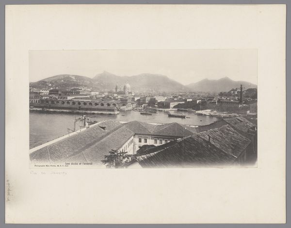
Here is the audio guide script: This photograph, taken by the Ordnance Survey Office, depicts a general view of Port Arthur. Note the significance of the harbor, a symbol of connection and vulnerability. Harbors have always represented not only the promise of trade and connection, but also the peril of invasion, a motif we see echoed throughout history. Consider the ancient port of Troy, a site of legendary siege, or Carthage, whose harbor was a key to its dominion and ultimate downfall. This photographic perspective, offering a wide, encompassing view, mirrors the strategic surveys of military campaigns. It is a gaze of power, dissecting and mapping the territory. The harbor, usually a place of bustling activity, appears still, laden with the weight of impending conflict, embodying both hope and a sense of foreboding. These themes of war, strategy, and vulnerability resonate through the ages.
Artwork details
- Dimensions
- height 209 mm, width 278 mm
- Copyright
- Rijks Museum: Open Domain
Tags
Comments
Share your thoughts
About this artwork
Here is the audio guide script: This photograph, taken by the Ordnance Survey Office, depicts a general view of Port Arthur. Note the significance of the harbor, a symbol of connection and vulnerability. Harbors have always represented not only the promise of trade and connection, but also the peril of invasion, a motif we see echoed throughout history. Consider the ancient port of Troy, a site of legendary siege, or Carthage, whose harbor was a key to its dominion and ultimate downfall. This photographic perspective, offering a wide, encompassing view, mirrors the strategic surveys of military campaigns. It is a gaze of power, dissecting and mapping the territory. The harbor, usually a place of bustling activity, appears still, laden with the weight of impending conflict, embodying both hope and a sense of foreboding. These themes of war, strategy, and vulnerability resonate through the ages.
Comments
Share your thoughts