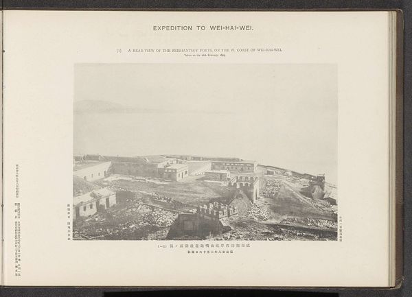
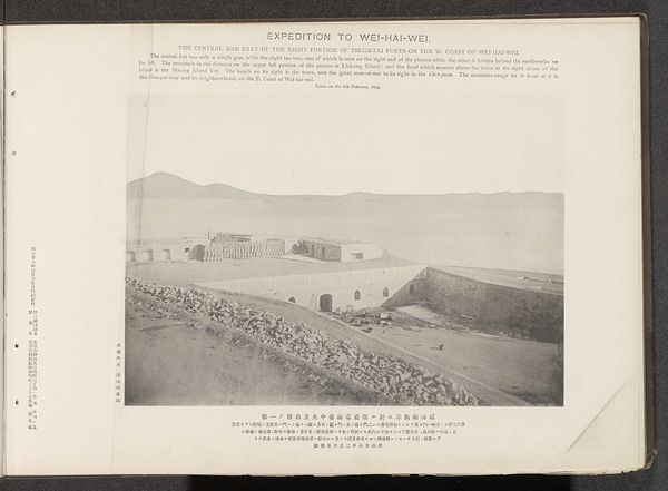
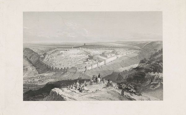
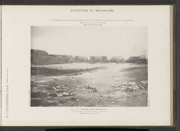
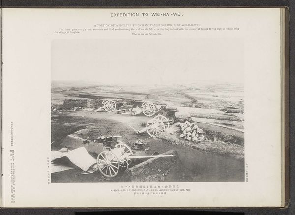
A portion of the eminence to the left of the Tseszetai forts on the W. coast of Wei-Hai-Wei Possibly 1895
0:00
0:00
print, photography, gelatin-silver-print
#
african-art
# print
#
landscape
#
photography
#
orientalism
#
gelatin-silver-print
Dimensions: height 212 mm, width 288 mm
Copyright: Rijks Museum: Open Domain
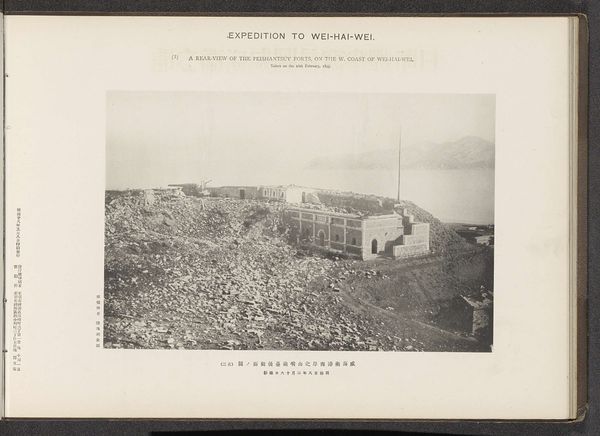
This photograph of the Tseszetai forts on the west coast of Wei-Hai-Wei, was taken on the 6th of February. Though we don’t know who exactly took it, it was produced by the Ordnance Survey Office. This image speaks to the impact of military activities on the landscape. The photo shows us the ruble from the explosions carried out by the Chinese abandoning the place. Rows of sandbags create the facade of the fort, and the material gives way to its form. There's a palpable sense of the weight and density of the earthworks, emphasizing the labor involved in constructing and then destroying such a structure. The use of photography as a surveying tool has been critical in shaping military and colonial operations, providing a documentary perspective that often overlooks the human cost of conflict. Consider how the materials and the act of making war are intertwined, each shaping the other in a cycle of construction and destruction. This photo invites us to consider the broader context of conflict and labor that lies just beneath the surface.
Comments
No comments
Be the first to comment and join the conversation on the ultimate creative platform.
More like this