drawing, print, paper, watercolor, ink
#
drawing
#
baroque
# print
#
landscape
#
paper
#
watercolor
#
ink
#
coloured pencil
#
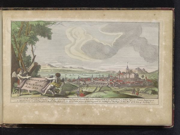
cityscape
Dimensions: height 118 mm, width 173 mm
Copyright: Rijks Museum: Open Domain
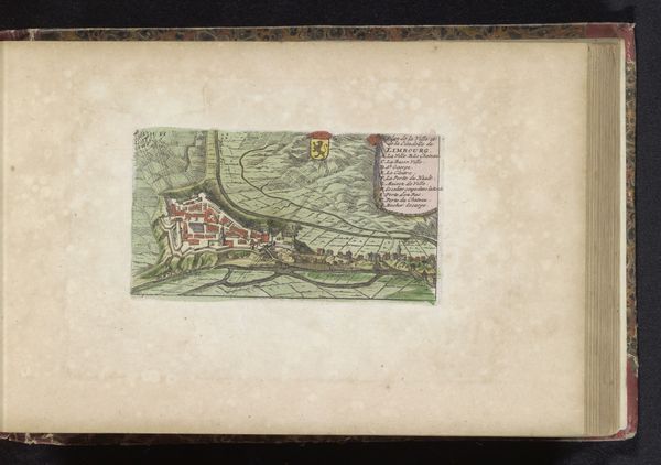
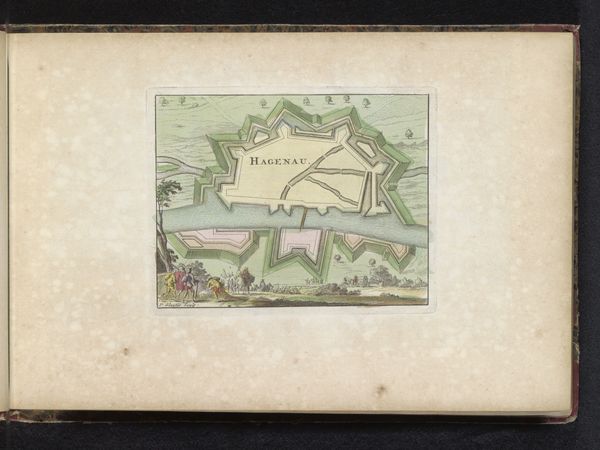
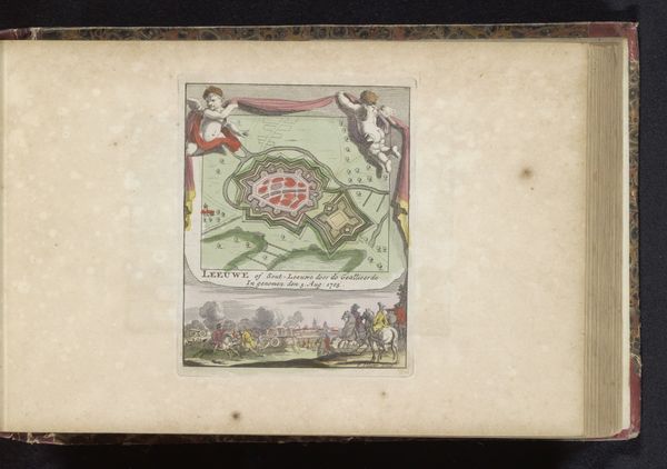
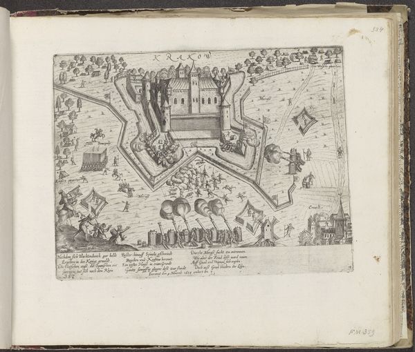
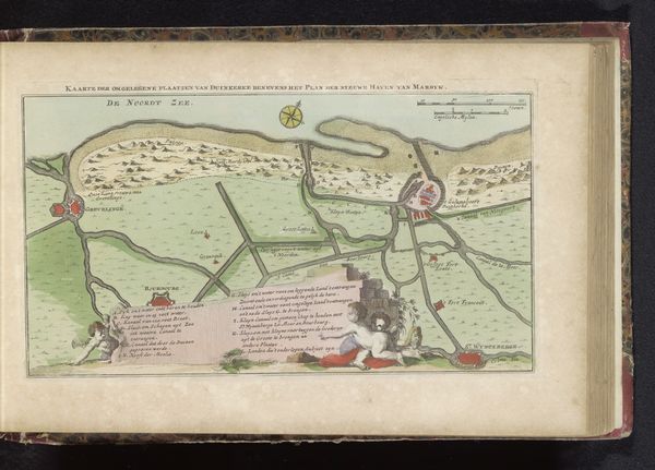
Here we see an anonymous engraving of the Plattegrond van Rheinfels (Sankt Goar). This detailed map offers a glimpse into the strategic importance and cultural landscape of the Rhineland. Maps like these were essential tools for military planning, trade, and asserting territorial claims during a period marked by intense geopolitical competition. Consider how the depiction of the landscape, with its fortifications and river, reflects a society deeply concerned with defense and control. What stories might these carefully rendered fortifications tell us about the ever-shifting boundaries of power? The Rhine, more than just a waterway, served as a vital artery connecting diverse communities and economies. What does it mean to chart a space? How does it become a tool of power? This image is a reminder of the ways in which the act of mapping can shape our understanding of place, identity, and belonging.
Comments
No comments
Be the first to comment and join the conversation on the ultimate creative platform.
More like this