print, engraving
#
neoclacissism
# print
#
old engraving style
#
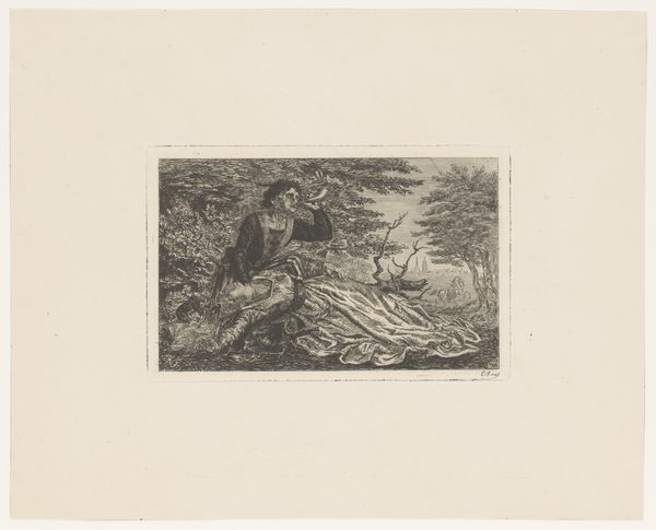
landscape
#
history-painting
#
academic-art
#
engraving
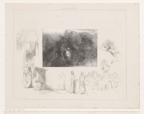
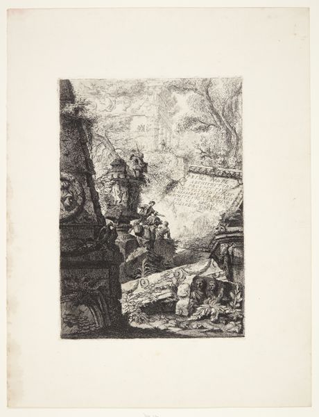
Dimensions: height 418 mm, width 470 mm
Copyright: Rijks Museum: Open Domain
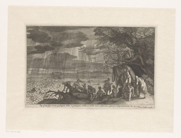
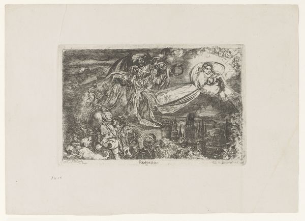
This section of a map of Crimea was made by an anonymous artist, and it features a grand procession juxtaposed with geographical precision. Note the sunburst emanating from behind the map. This isn't merely decorative. The sun here is an ancient symbol of enlightenment and power, a motif traceable back to Egyptian sun gods and Roman emperors who claimed divine right. Consider, too, how cartography itself carries symbolic weight. Maps aren't just neutral representations; they're assertions of control, projecting power onto a territory. Recall how Renaissance explorers charted new worlds, planting flags, and renaming landscapes—actions imbued with the same impulse we see here. The grand procession echoes triumphal marches of antiquity. Such displays served to impress upon the viewer the might and legitimacy of the ruler. This echoes through time, reappearing in various forms of state propaganda designed to leave a lasting psychological impact. We can recognize it today in modern state parades, where the choreography of power continues to resonate with the human psyche. This image, therefore, is not just a map, but a statement—an enduring symbol of dominion.
Comments
No comments
Be the first to comment and join the conversation on the ultimate creative platform.
More like this