graphic-art, print, etching, ink, engraving
#
graphic-art
#
baroque
# print
#
etching
#
old engraving style
#
ink
#
cityscape
#
engraving
Dimensions: height 278 mm, width 330 mm
Copyright: Rijks Museum: Open Domain
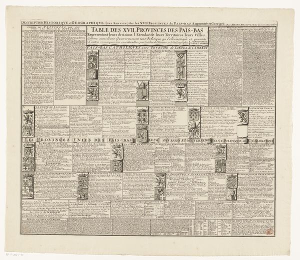
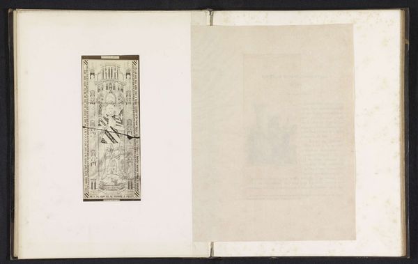
This is an old map, made with ink on paper, depicting a section of Palermo. Because it is a print, it would have been made by first incising an image into a metal plate – probably copper – then inking and pressing it onto the page. What I find interesting about this image is the way that it puts a place on display for strategic purposes. Notice the emphasis on fortifications along the coast. Maps like this were crucial for navigation, military planning, and trade, enabling global exchange and colonial expansion. The labor involved is subtle but significant. The engraver needed highly specialized skills, and the printing process would have required physical strength and precision. Each impression pulled from the plate represents a cycle of work, contributing to the circulation of knowledge and power. So, next time you look at a map, consider it not just as a representation of space, but as a record of human effort, ambition, and the complex interplay of art, technology, and society.
Comments
No comments
Be the first to comment and join the conversation on the ultimate creative platform.
More like this