#
aged paper
#
toned paper
#
old engraving style
#
hand drawn type
#
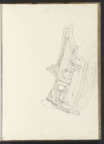
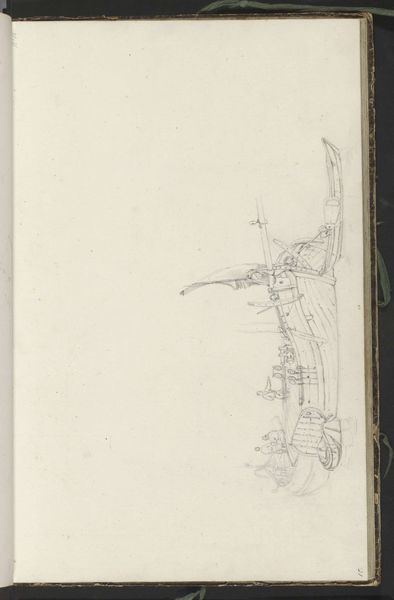
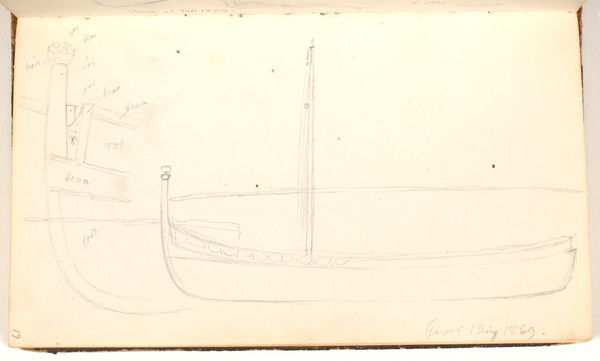
personal sketchbook
#
ink drawing experimentation
#
ink colored
#
pen work
#
sketchbook drawing
#
sketchbook art
Dimensions: height 485 mm, width 640 mm
Copyright: Rijks Museum: Open Domain
Editor: So, this is “Plattegrond van Damme,” circa 1701-1715, by Samuel Du Ry de Champdoré. It appears to be ink on toned paper – almost like a blueprint, but more delicate. It’s making me think about urban planning and old maps, but there is something very ethereal about this work. What stands out to you most? Curator: Ethereal is a lovely way to put it. To me, this isn’t just a map; it’s a whisper of a fortified city. The pale ink on aged paper evokes a dreamlike quality, as though we are peering into a memory. Imagine Champdoré, sketching this not just as a record, but perhaps as a wish, a fear, or a fantasy related to protection and siege. Does the somewhat tentative linework give you that feeling? Editor: Yes, I see what you mean about it feeling like a fantasy! I suppose the aged paper adds to that feeling...Was Damme an important city back then? Curator: Absolutely. Its strategic location made it a prize in many conflicts. That star-shaped fortress… it's so precise, yet drawn by hand, isn't it interesting? Think about the labor and skill involved – each line a decision. It reflects the 18th-century obsession with order and control, masking the inherent chaos of warfare and politics. The slightly faded and trembling lines belie a world teetering on the edge of massive historical shifts. Almost prophetic, wouldn't you say? Editor: It does put the precision of the map in perspective! It makes me wonder how accurate these plans actually were. Thank you. Curator: My pleasure. I'll never look at another map quite the same way.
Comments
No comments
Be the first to comment and join the conversation on the ultimate creative platform.
More like this