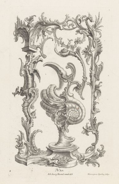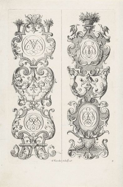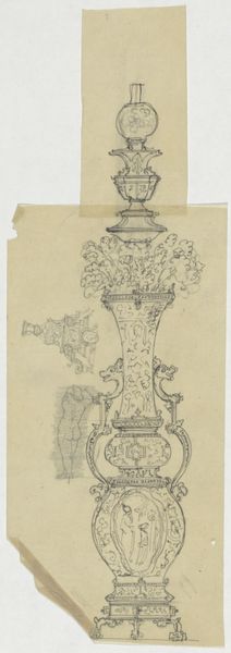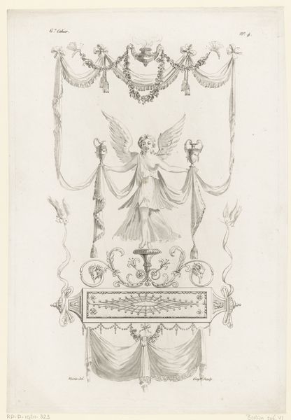
1738 - 1749
Delen van de ornamentrand van een landkaart
Gabriel Huquier
1695 - 1772Location
RijksmuseumListen to curator's interpretation
Curatorial notes
Editor: So, this print by Gabriel Huquier, titled "Delen van de ornamentrand van een landkaart," dating from around 1738 to 1749, is quite striking in its detail. I find it so ornate and intricate. What kind of purpose did such an ornamental print serve at the time? Curator: Indeed. What we are viewing are fragments intended for a map's border, and these sorts of engravings speak volumes about the social and cultural values of the 18th century. This wasn't merely decoration. Ask yourself: What does elaborate ornamentation, specifically on something like a map, communicate? Editor: Perhaps it suggests wealth, status, even a sense of power connected to exploration and knowledge? The kind of person who'd own such a detailed map? Curator: Precisely. Maps were not simply navigational tools; they were status symbols. This particular print demonstrates the Baroque style’s influence on cartography, where precision intertwined with artistry to underscore the authority and prestige associated with owning geographical knowledge. These maps were statements about one’s access to information and, by extension, power. Editor: So the ornament wasn't just pretty; it played a crucial role in conveying the map owner's status? Curator: Exactly. Consider the institutional context as well: the burgeoning of scientific societies, the importance of exploration to colonial endeavors. Maps visualized power structures. An elaborate map wasn't just a tool; it was a display of control and knowledge sanctioned and propagated by social institutions. The print’s ornament acted as visual propaganda, reinforcing social hierarchies. Editor: That’s fascinating! I hadn't thought about it as visual propaganda before. I guess I see the map now in a completely new light! Curator: The intent behind these maps can reveal some surprising cultural norms, biases and aspirations, which are things we need to consider more.