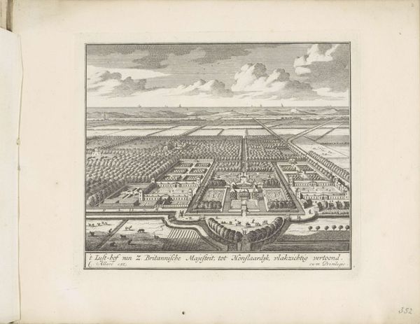
print, engraving
# print
#
landscape
#
hudson-river-school
#
cityscape
#
engraving
#
realism
Dimensions: height 643 mm, width 831 mm
Copyright: Rijks Museum: Open Domain
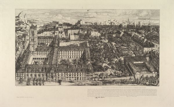
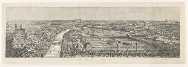
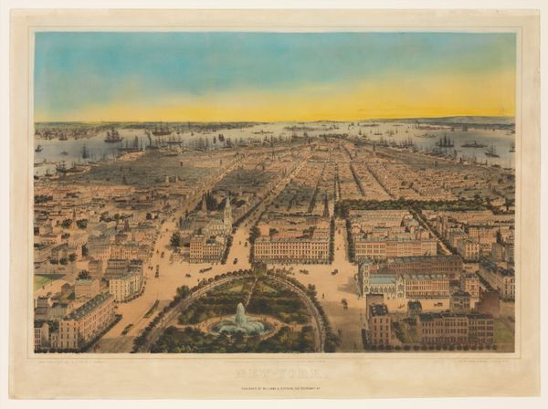
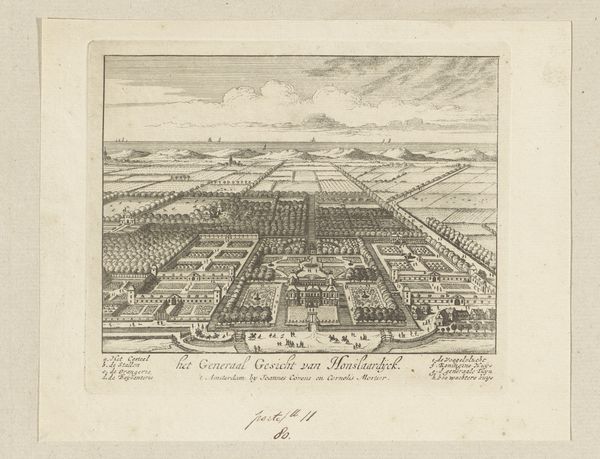
John Bachmann made this print of New York City sometime in the mid-19th century. It presents a panoramic view, visually mapping the rapidly expanding metropolis and its relationship to the waterways that defined its commerce. The image speaks to the ambition and scale of urban development during this period. The rational grid system imposed on the landscape reflects Enlightenment ideals of order and progress. This cartographic aesthetic conveys a sense of control over the natural world, even as the bustling port suggests the dynamic, often chaotic forces of trade and immigration shaping the city. Analyzing such an image involves considering how visual representations of urban space intersect with social and economic realities. Studying city planning documents, census data, and period newspapers can provide a richer understanding of the historical context. Artworks like this offer valuable insights into the social conditions and institutional forces that shaped the 19th-century city.
Comments
No comments
Be the first to comment and join the conversation on the ultimate creative platform.
More like this