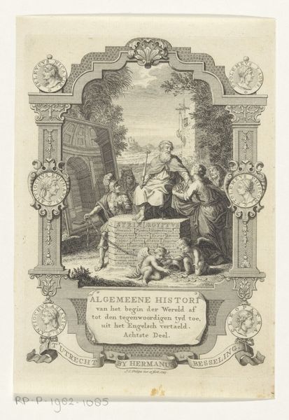
print, engraving
#
baroque
# print
#
pen illustration
#
old engraving style
#
traditional media
#
landscape
#
cityscape
#
history-painting
#
engraving
Dimensions: height 173 mm, width 103 mm
Copyright: Rijks Museum: Open Domain
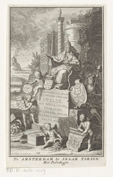
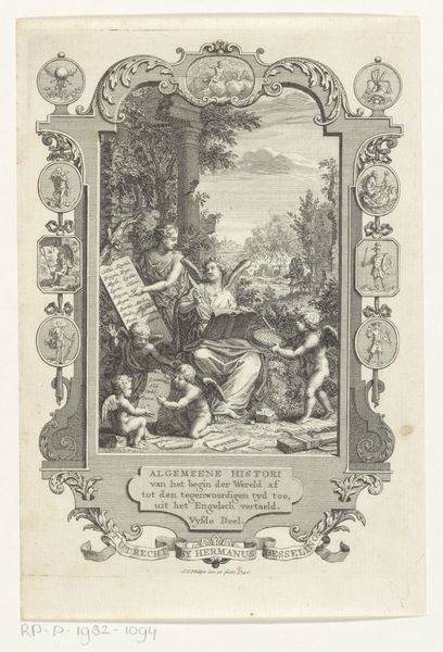
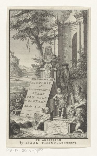
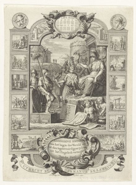
Jan Caspar Philips made this print of a map of the Turkish Empire in Amsterdam around 1733. It was intended as an illustration for a book on contemporary history, reflecting the Dutch Republic's interest in global affairs. But it's not just a straightforward depiction of geography. The image is laden with symbols, figures in Ottoman dress, and classical allegories. A pyramid places the scene in a fabricated orient, and the map is presented as a tableau of cultural exchange between Europe and the East. The map itself is a tool of power, defining territories and legitimizing claims. Philips' print, with its visual codes and cultural references, is therefore a window into the 18th century's understanding of the world. To understand this image better, we might delve into the history of Dutch cartography or study the popular imagery of the Ottoman Empire. The print highlights how art is always embedded in a specific time and place, shaped by social, political, and institutional forces.
Comments
No comments
Be the first to comment and join the conversation on the ultimate creative platform.
More like this