drawing, print, paper, ink
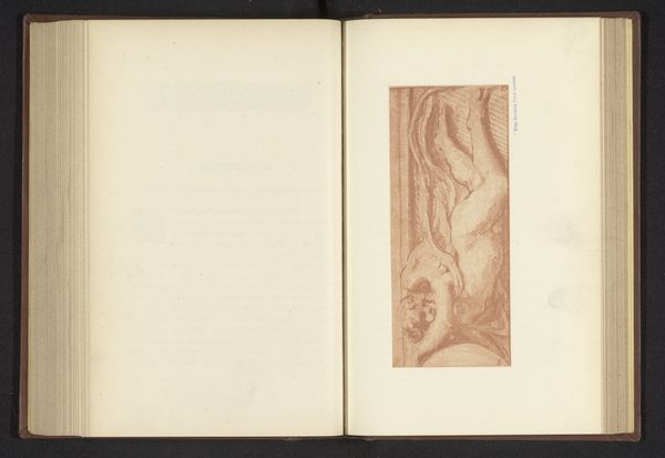
drawing
aged paper
homemade paper
paperlike
sketch book
hand drawn type
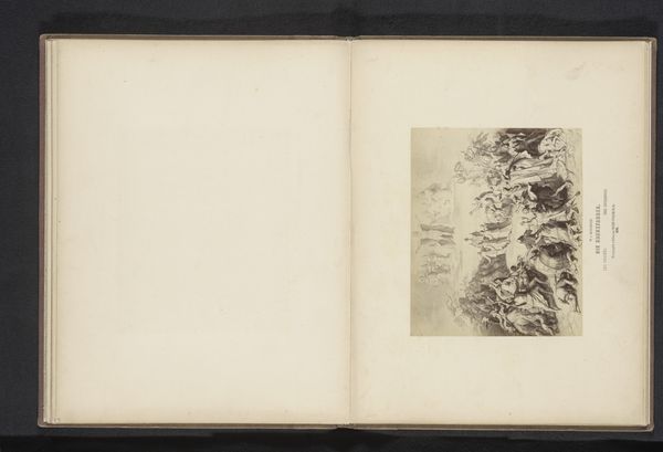
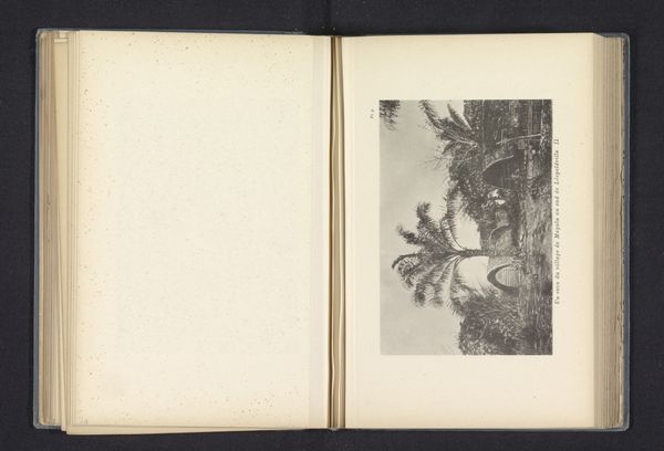
landscape
paper
personal sketchbook
ink
hand-drawn typeface
journal
orientalism
sketchbook drawing
sketchbook art
Dimensions: height 140 mm, width 155 mm
Copyright: Rijks Museum: Open Domain
This reproduction of a map of Sumatra was made by Michel Berthaud, likely using a printing technique such as etching or engraving. Notice the intricate network of lines used to depict the landscape – rivers, coastlines, and mountain ranges are all carefully delineated. Consider the labor involved in creating such a detailed image, the skill needed to transfer the drawing onto a printing plate. Sumatra itself was a place of intense colonial activity, so the production of this map reflects a desire to chart, control, and exploit the land. But it also represents a transfer of knowledge, in which local understanding was filtered through the lens of European cartography. The map can be appreciated not only for its artistry, but also as a material record of social and political forces at play. Paying attention to its making allows us to understand its historical significance, and its role in shaping perceptions of Sumatra.
Comments
No comments
Be the first to comment and join the conversation on the ultimate creative platform.