Petri Gyllii De Bosporo thracio libri III ; Petri Gyllii De topographia Constantinopoleos 1562
0:00
0:00
graphic-art, print, typography, engraving
#
graphic-art
# print
#
book
#
typography
#
italian-renaissance
#
engraving
Dimensions: 2 parts in 1 volume ; Height: 9 13/16 in. (25 cm)
Copyright: Public Domain
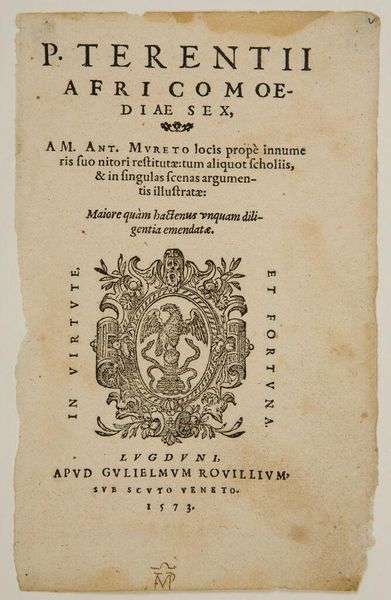
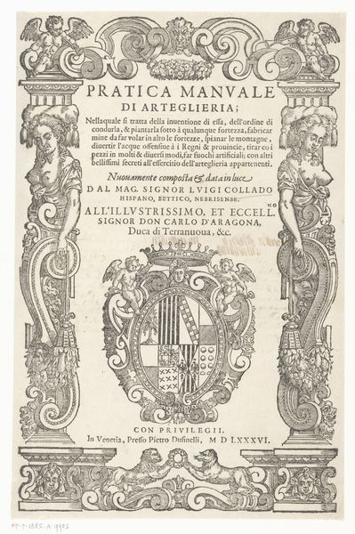
This is the title page to "Petri Gyllii De Bosporo thracio libri III ; Petri Gyllii De topographia Constantinopoleos", printed in 1562. Pierre Gilles, a French topographer and translator, wrote about the Bosphorus, the strait of Istanbul, and the topography of Constantinople. In the 16th century, the Ottoman Empire was expanding, posing a significant threat to Europe. Gilles's work provided Europeans with valuable insights into the geography, history, and culture of the region. His writings reflect a blend of scientific curiosity and the political anxieties of his time. The book is adorned with a woodcut featuring an eagle, serpents, and cherubs. These symbols evoke the era's complex relationship to knowledge, power, and religion. The eagle and serpents may represent the challenges and dangers of geographical exploration, while the cherubs reflect a desire to reconcile classical knowledge with Christian beliefs. Gilles's work invites us to consider how knowledge is produced, disseminated, and consumed within specific historical contexts, and how it shapes our understanding of different cultures.
Comments
No comments
Be the first to comment and join the conversation on the ultimate creative platform.
More like this