drawing, print, etching, pen
drawing
pen illustration
etching
landscape
mannerism
pen
cityscape
history-painting
Dimensions: height 286 mm, width 366 mm
Copyright: Rijks Museum: Open Domain
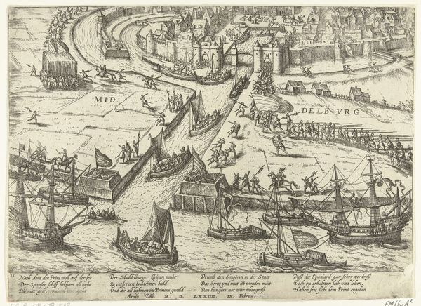
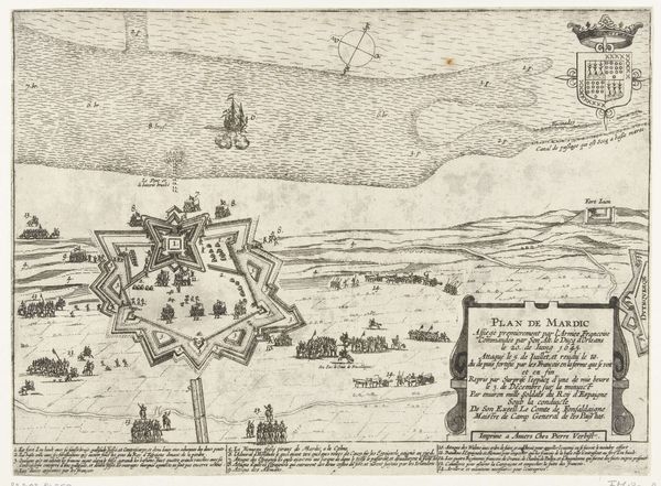
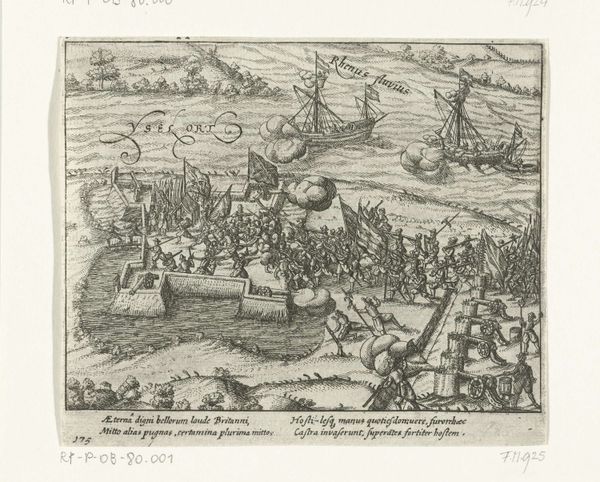
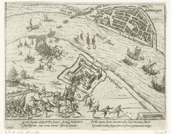
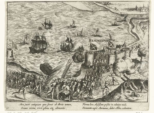
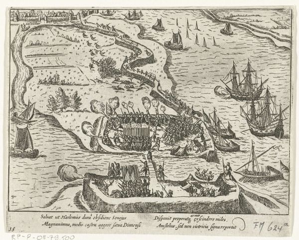
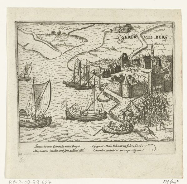
Nicolaes van Geelkercken created this detailed map titled "Siege of Bergen op Zoom" in 1622 using etching. It is a visual record of a significant historical event during the Eighty Years' War, a conflict heavily shaped by religious and political tensions. This map isn’t just a depiction of military strategy. It also reflects the cultural and national identities at stake. Bergen op Zoom was a strategically vital city, and its siege was a clash between Dutch aspirations for independence and the Spanish Empire's desire to maintain control. Each element, from the positioning of troops to the rendering of the landscape, tells a story of power, resilience, and the human cost of war. Consider the emotional weight of such detailed mapping during this era. It was a tool of power but also a way for people to understand and visualize the conflicts shaping their lives. The map invites us to reflect on how these historical struggles continue to resonate in contemporary questions of sovereignty and identity.
Comments
No comments
Be the first to comment and join the conversation on the ultimate creative platform.