drawing, ink, pen
#
drawing
#
baroque
#
landscape
#
ink
#
pen-ink sketch
#
pen
#
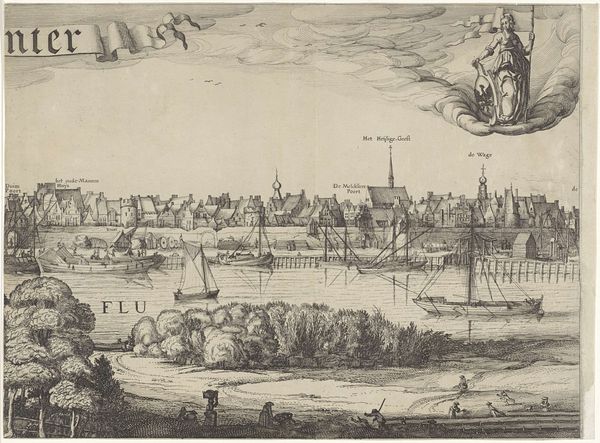
cityscape
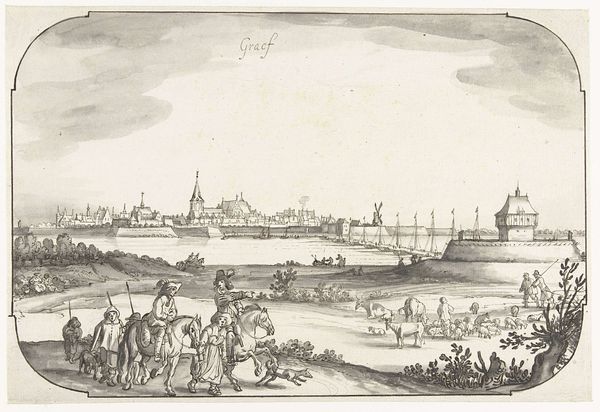
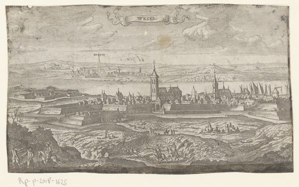
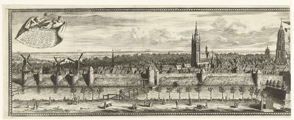
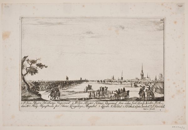
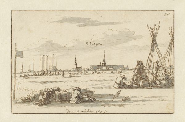
Dimensions: height 158 mm, width 409 mm
Copyright: Rijks Museum: Open Domain
Jan de Beijer made this drawing of Maastricht in the Netherlands using pen in gray ink and brush in gray wash. The drawing captures the Bat, a structure likely used for docking or fortification, and the Maas bridge, set against the skyline of Maastricht. The image provides insight into the urban planning and engineering of the period. Made sometime in the 1700s, this drawing serves as a record, documenting a specific time in Maastricht's history. The city’s structures and the activities of its inhabitants offer clues about the area’s economic and social conditions. Such topographical drawings were often commissioned or created for administrative or military purposes, to assist with planning or to commemorate important locations. Analyzing municipal archives, engineering records, and social histories, we can see what the drawing suggests about the values and priorities of the society that produced it.
Comments
No comments
Be the first to comment and join the conversation on the ultimate creative platform.
More like this