Dimensions: height 379 mm, width 475 mm
Copyright: Rijks Museum: Open Domain
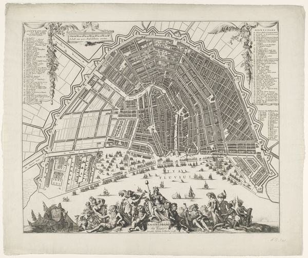
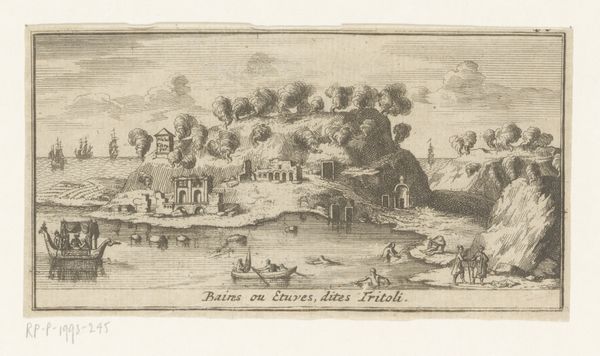
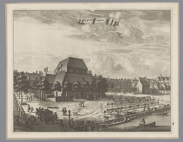
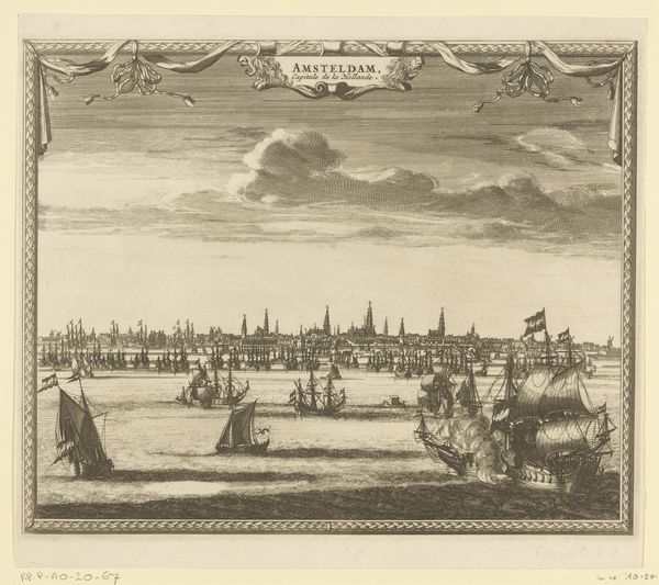
This is an anonymous print of Amsterdam, a "Plattegrond van Amsterdam met stadsgezicht." Maps are never neutral; they embody the power dynamics of their time. Here, the detailed rendering of Amsterdam isn't just a geographical document but a statement of Dutch power, particularly during its Golden Age. The ships at the bottom signal Amsterdam's centrality to global trade networks, including the exploitation and enslavement of people across the world. The figures in the foreground are rendered in classical style, suggesting a lineage of power and authority. Their presence idealizes Amsterdam as more than just a port city, but as a center of culture and civilization. Look closely at the architecture; who do you think had access to these spaces, and who was excluded? Consider the stories untold in this image: the lives of those who were marginalized, displaced, or whose labor enabled Amsterdam's prosperity. This map serves as a reminder that every representation is also an act of omission, inviting us to consider what stories remain to be uncovered.
Comments
No comments
Be the first to comment and join the conversation on the ultimate creative platform.
More like this