print, engraving
#
baroque
#
pen drawing
# print
#
landscape
#
geometric
#
line
#
history-painting
#
engraving
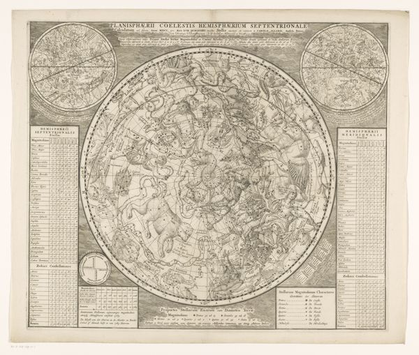
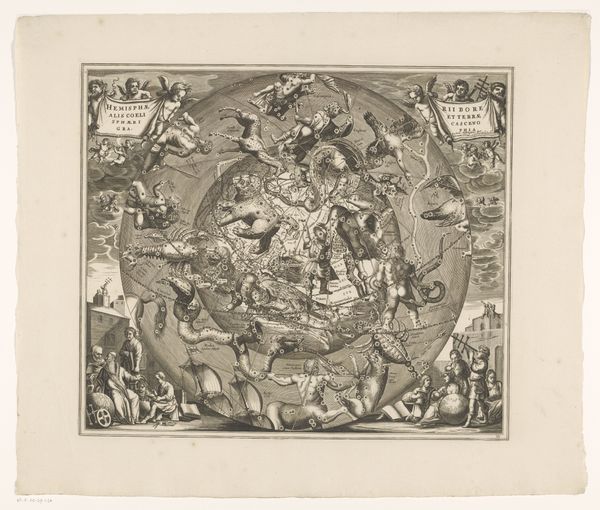
Dimensions: height 433 mm, width 513 mm
Copyright: Rijks Museum: Open Domain
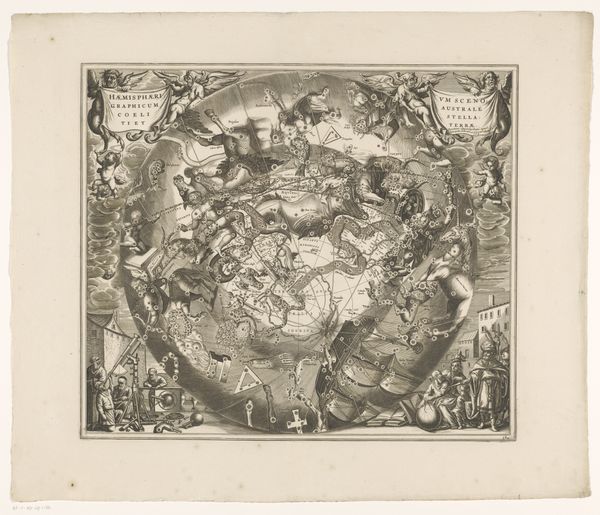
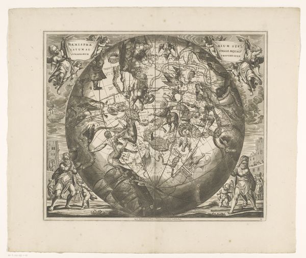
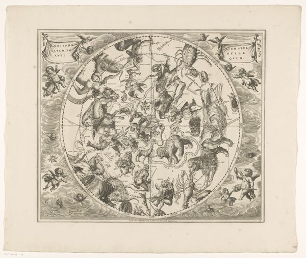
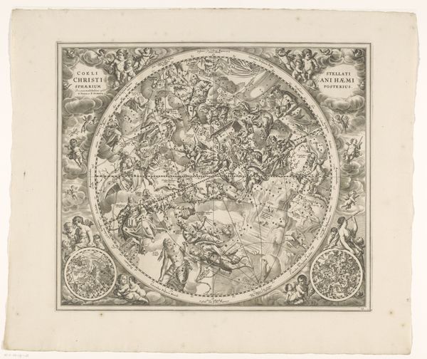
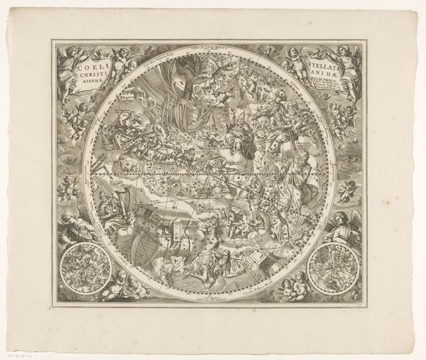
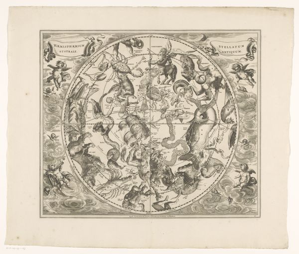
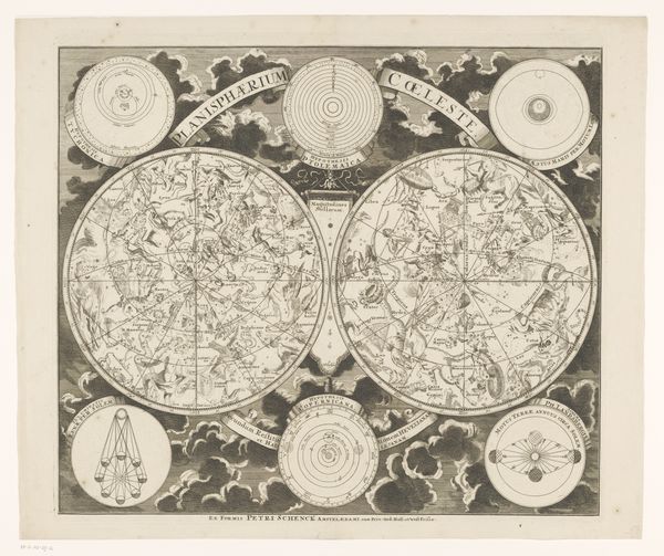
This star map of the northern constellations was etched by an anonymous artist. We might understand it as an early example of data visualization. Its purpose was to reflect the era’s scientific understanding of the cosmos. The map provides a glimpse into the cultural and intellectual landscape of its time. Celestial maps like these were not just scientific tools; they were statements about humanity’s place in the universe. Made at a time of scientific revolution, they served to situate earthly existence within a cosmic order, reflecting not only astronomical knowledge but also philosophical and religious beliefs. The map attempts to bring order and understanding to the vast, mysterious cosmos. Understanding this star map requires us to consider the historical context in which it was produced. Examining contemporary scientific texts, philosophical treatises, and religious doctrines can reveal much about the map's intended audience and its cultural significance. Only then can we fully appreciate the complex interplay between science, culture, and belief.
Comments
No comments
Be the first to comment and join the conversation on the ultimate creative platform.
More like this