drawing, paper, watercolor, ink
#
drawing
#
paper
#
11_renaissance
#
watercolor
#
ink
Dimensions: height 400 mm, width 245 mm
Copyright: Rijks Museum: Open Domain
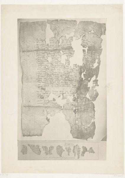
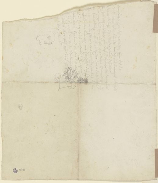
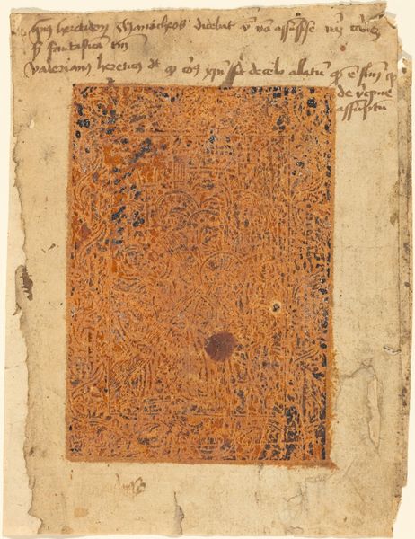
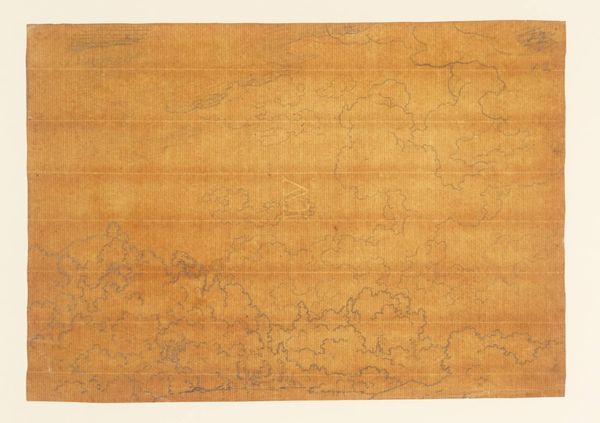
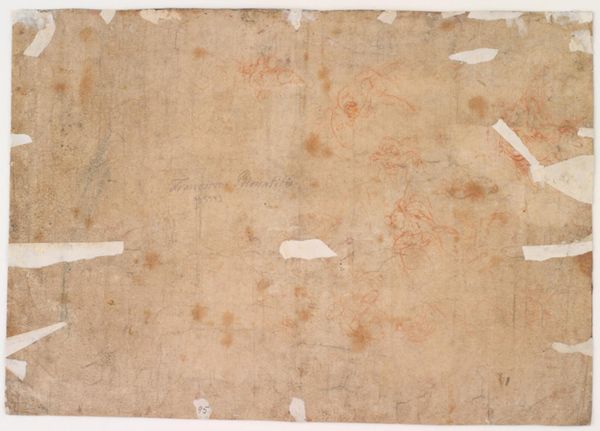
Editor: Here we have "Cedelken," a drawing possibly from 1597 by Willem Barendsz, made with ink, watercolor and what appears to be, quite delicate, paper. It has an aged quality and seems to depict text and geographical shapes. What particularly strikes me is the materiality, that fragile paper and faded ink, and I wonder what the conditions of its making might reveal? How do you interpret this work, thinking about the resources available to the artist? Curator: I see this not merely as a document, but as an artifact steeped in the material realities of early cartography and exploration. Consider the paper: likely handmade, each sheet unique, influencing how the ink and watercolor were received. This becomes more than just a map; it’s a record of labour, skill, and available technology. What decisions were dictated by these material constraints? Editor: That's interesting. So, rather than just the image *on* the page, you’re considering the page itself as part of the narrative? Like how the absorbency of the paper might influence the detail that could be achieved. Curator: Precisely. Think of the ink: Was it locally sourced or imported? Its composition would dictate the line quality, legibility, and even the speed at which the artist could work. The watercolors too -- their pigment source impacts hue and longevity, thereby changing how we, and people then, saw and interpreted the world mapped before them. Where would they find the resources and how would this impact how long it took to produce the work, influencing how often and who the maps were distributed to? Editor: It reframes it, seeing it less as pure representation and more as evidence of production, labour, and even trade. It makes you consider all those hidden layers. Curator: Exactly! By acknowledging the circumstances of production, we move beyond simply deciphering what the map *shows* and consider *how* and *why* it came to be, reflecting societal needs and limitations. Editor: I’ll never look at an old map the same way again. Curator: Hopefully this encourages questioning not only 'what does it represent?', but 'what materials constituted its very existence, and to what effect?'.
Comments
No comments
Be the first to comment and join the conversation on the ultimate creative platform.
More like this