print, etching, photography
# print
#
etching
#
landscape
#
photography
#
monochrome
Dimensions: height 177 mm, width 179 mm
Copyright: Rijks Museum: Open Domain
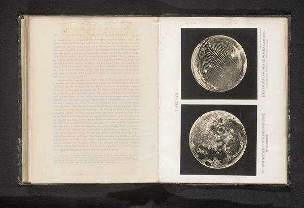
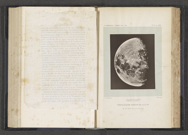
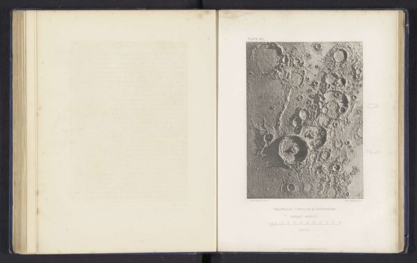
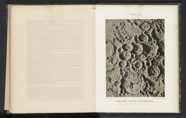
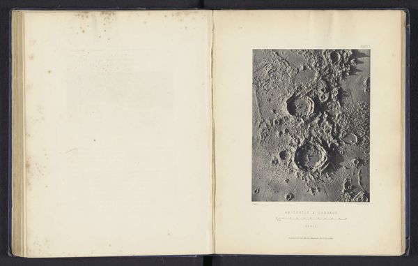
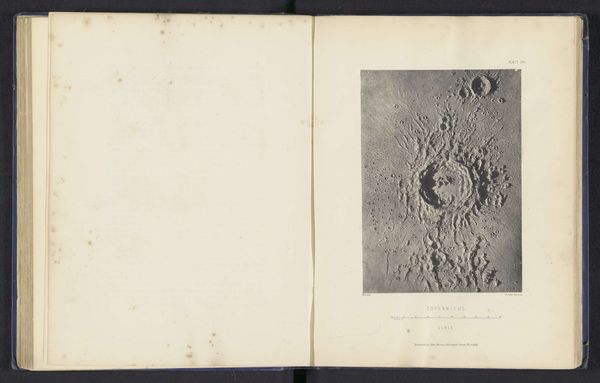
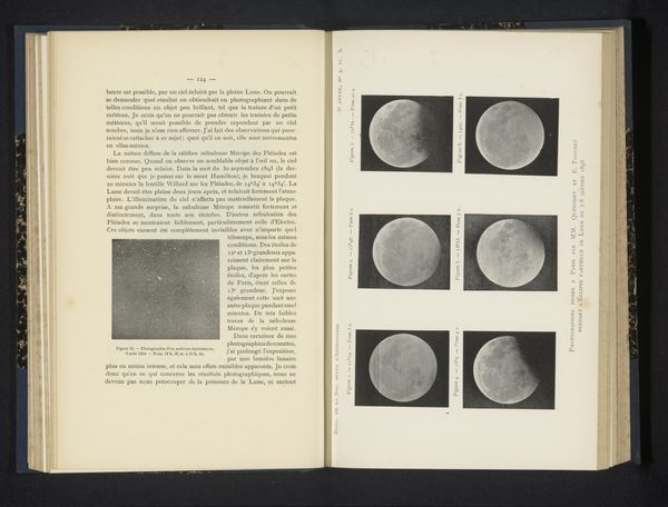
This is James Nasmyth's "Photographic Map of the Moon with Scale Division," a photogravure. During the Victorian era, the moon was both a scientific frontier and a source of cultural fascination. Nasmyth, a Scottish engineer, embodied this intersection of science and culture. His map wasn't made through direct photography, but rather a process he pioneered involving the construction of detailed plaster models of the lunar surface, which he then photographed under raking light. This allowed for a clarity and detail that was beyond the scope of telescopes at the time. Think about the cultural implications of mapping the moon during a period of extensive colonial mapping and exploration here on Earth. Nasmyth's project shares the Victorian era’s ambition to catalogue and understand the world, both terrestrial and celestial. While seemingly objective, such endeavors are always shaped by the worldview and technology available to the artist. He invites us to ponder the act of seeing and knowing, and the human desire to chart the unknown, whether it's across oceans or the vastness of space.
Comments
No comments
Be the first to comment and join the conversation on the ultimate creative platform.
More like this