drawing, pen
#
drawing
#
landscape
#
coloured pencil
#
geometric
#
pen
#
academic-art
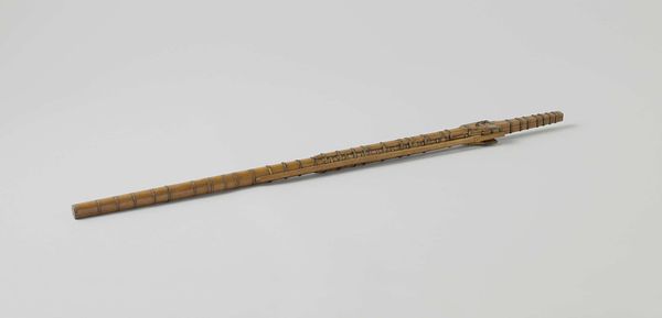
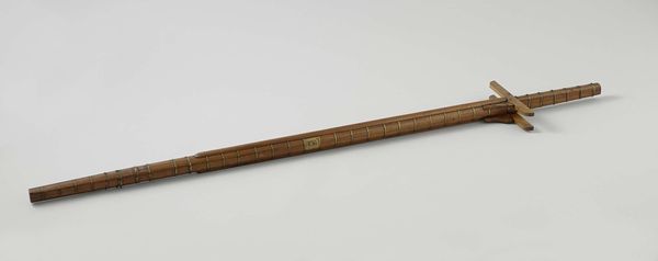
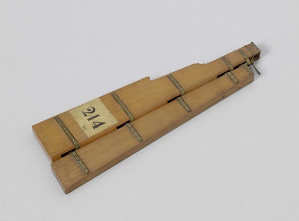
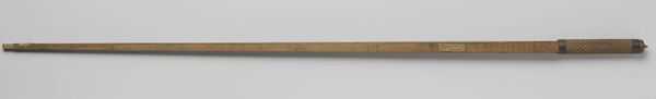
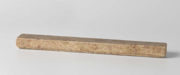
Dimensions: height 0.4 cm, width 38.9 cm, depth 7.8 cm
Copyright: Rijks Museum: Open Domain
Rasmus Dekker made this "Scale for Navigation" from an unknown material, and at an unknown date. Navigation scales like these aren’t often considered as art, but they do reveal something of the cultural values of their day. During periods of colonial expansion, such as that of the Dutch in the 17th century, precise calculation and measurement allowed merchants to increase their efficiency and navigate to distant lands. Institutions like the Dutch East India Company depended on such technologies to maximize profit, and tools like this navigation scale supported their success. The meticulous engravings on its surface show the great value placed on exactitude at the time. It is a visual code that speaks of trade, calculation, and ultimately domination. Historians need to look at many different sources, from maps and trade ledgers to paintings and literature, in order to understand the complex ways in which culture and technology intersected in the past.
Comments
No comments
Be the first to comment and join the conversation on the ultimate creative platform.
More like this