drawing, print, paper, watercolor
#
drawing
#
water colours
# print
#
paper
#
watercolor
#
coloured pencil
Dimensions: height 530 mm, width 375 mm, height 530 mm, width 750 mm
Copyright: Rijks Museum: Open Domain
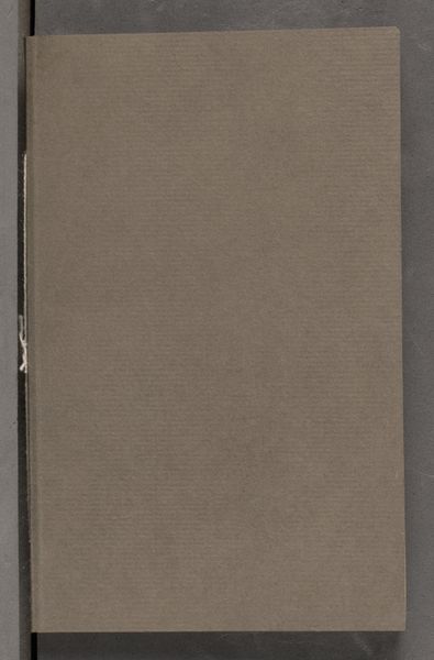
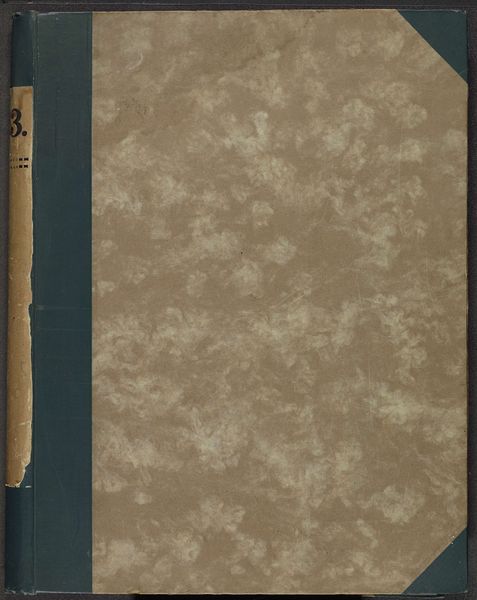
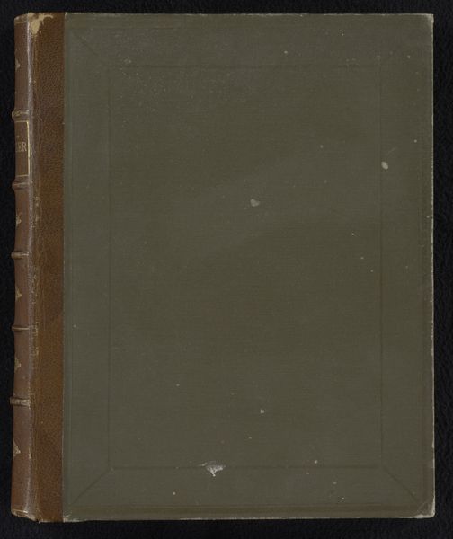
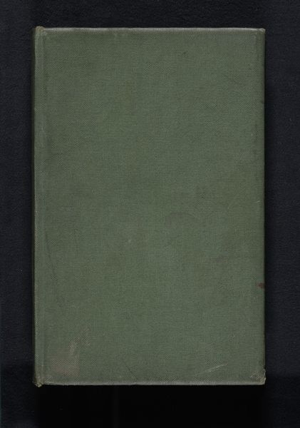
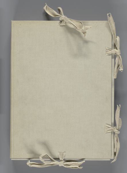
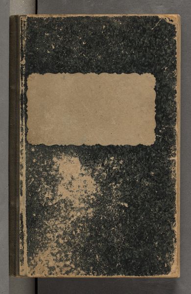
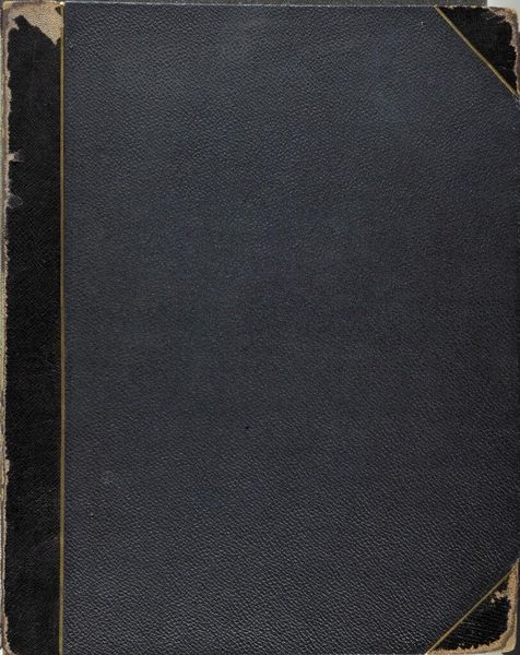
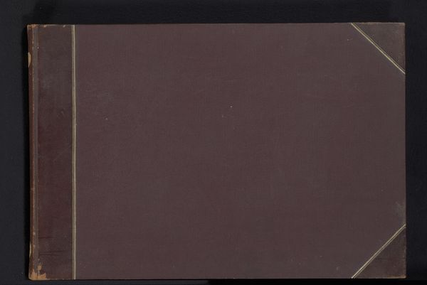
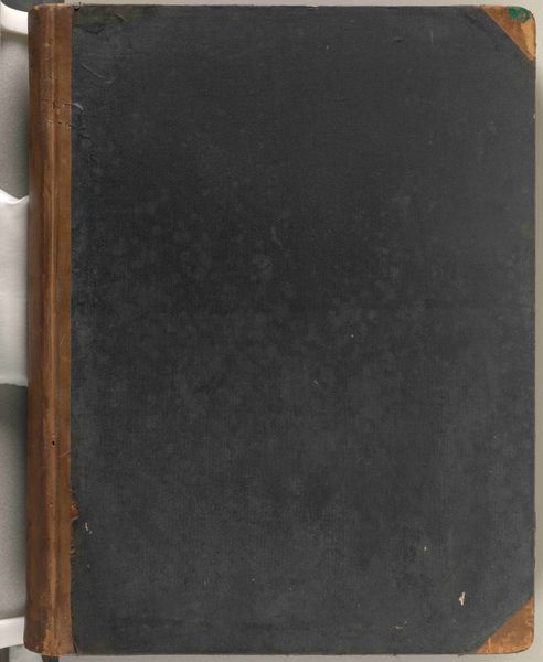
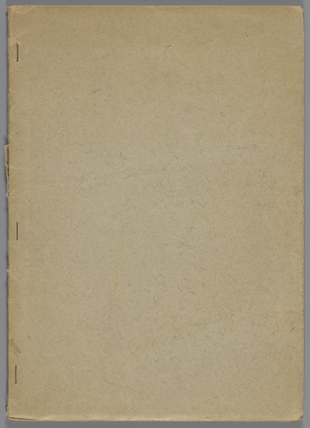
Curator: Standing before us is "Map voor: Gezigten uit Neêrlands Indië," a collection dating back to the mid-1840s, circa 1843-1845. We believe it is the work of an anonymous artist. It’s composed of prints, drawings, and watercolors on paper. Editor: It's a bit like finding an old, mysterious photo album. The faded cloth, the delicate ties… it has an almost hushed feel to it. Evokes stories waiting to be told, secrets whispering beneath the surface. Curator: Indeed. Formally, the work’s subdued color palette and textured surface command our attention. Note the orthogonality and rigid shape – how does this reflect early print and drawing practices, particularly the period's engagement with exploration? Editor: Oh, definitely! It's structurally sound but, that off-centered balance speaks to an inner narrative. Like a compass pointing towards adventure... but adventure contained, presented, curated. Almost makes you wonder about the 'gezigten' or sights that it held, no? Curator: Precisely. The map, or folder, is more than just a container. Semiotically, the external elements – the material, texture and coloration – prepares the viewer to receive particular colonial era narratives or perceptions of the then Dutch East Indies, now Indonesia. Editor: Exactly! It gives me that "I wonder what's inside" sensation but with a slightly heavy heart. Does that make sense? I imagine a compilation of snapshots, curated to show only the beautiful, exploitable, and useful parts... It's got me thinking of my family albums, and what stories those can tell. Curator: The very nature of how it withholds provides the intrigue. What it promises is something from which the gaze returns shifted and changed. Considering the sociopolitical era within which the artwork originated – perhaps even transformed. Editor: What is striking about seeing only the container that once held images. We bring the faces into being with our own projection as viewer. This inanimate object truly is holding history. Curator: A palpable sentimentality toward how an archive is activated through form. The blankness serves the artwork as a tool to beget further analysis. Editor: True, and that act of preservation and observation invites reflections that makes it beautiful and terrible all at once. I might never see the 'gezichten,' but, in a way, the whole world lies within this cover.
Comments
No comments
Be the first to comment and join the conversation on the ultimate creative platform.
More like this