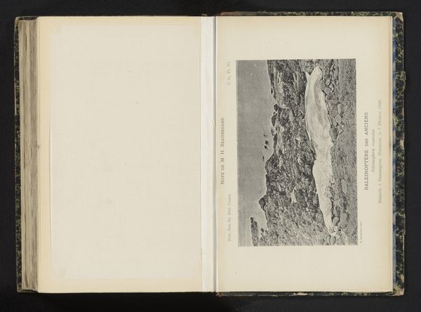
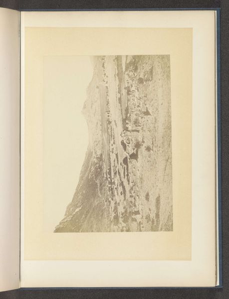
Twee gezichten op Port Arthur, gezien vanaf het fort op de Etse-heuvel Possibly 1894
print, photography
asian-art
landscape
photography
Dimensions: height 426 mm, width 195 mm
Copyright: Rijks Museum: Open Domain
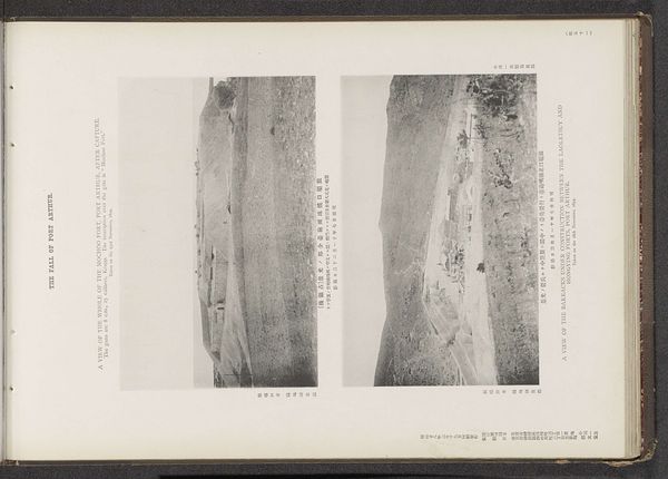
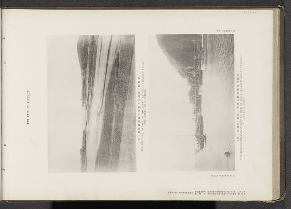
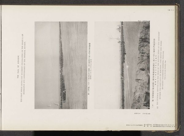
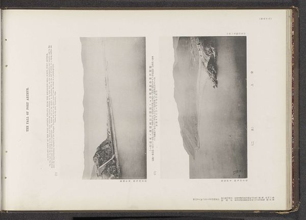
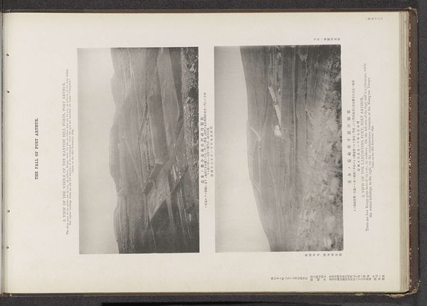
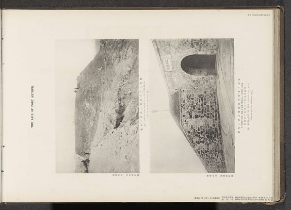
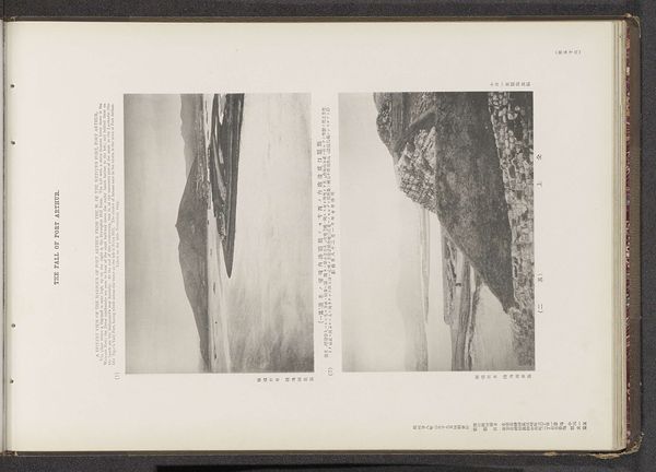
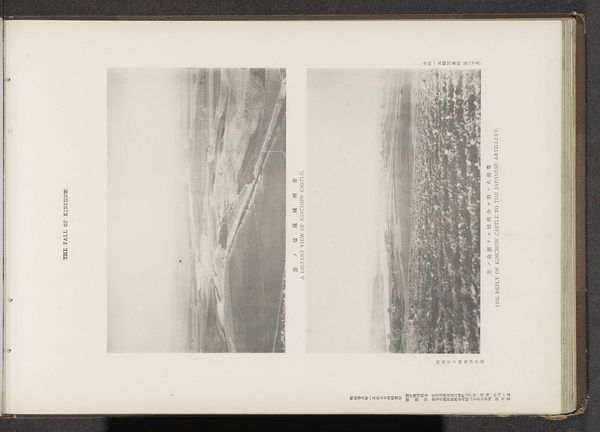
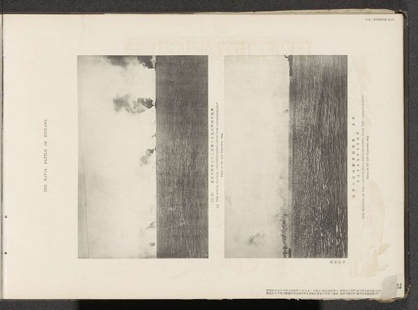
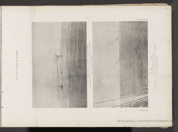
This print of two views of Port Arthur, was created by the Ordnance Survey Office. These prints, part of a broader set documenting the Russo-Japanese War, were rendered through precise photographic means. The act of surveying relies on a material engagement with the landscape. Surveyors use specific instruments and techniques, all with a view to map territory, not to record aesthetic experience. Here, the camera serves as an instrument of military intelligence, transforming the land into a strategic asset. The prints themselves are documents of labor, products of the industrial printing press, designed for mass consumption and distribution. Each print embodies a calculated rendering of space, meticulously captured and reproduced. By shifting our attention to these aspects of process and materiality, we can better appreciate the complex interplay between technology, labor, and power. Even a seemingly straightforward image becomes a window into broader social and political forces at play.
Comments
No comments
Be the first to comment and join the conversation on the ultimate creative platform.