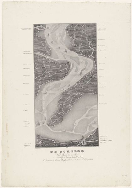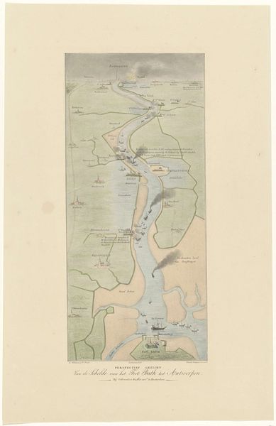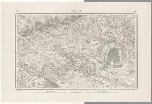
Loop van de Schelde van Fort Bath tot zee (bovenste blad), 1832 1833
0:00
0:00
print, engraving
# print
#
old engraving style
#
landscape
#
cityscape
#
engraving
Dimensions: height 543 mm, width 380 mm
Copyright: Rijks Museum: Open Domain
Willem Charles Magnenat made this map of the Schelde River from Fort Bath to the sea in 1832 using etching and engraving techniques. The dense networks of lines create a detailed view of the landscape. From the varying thickness of the lines that define territories and bodies of water, to the stippling that describes depth and texture, the materiality of the printmaking process shapes our understanding. The meticulous process required skilled labor and time, reflecting a deliberate act of documentation and representation. This wasn't just about geographical accuracy; the map also speaks to the political landscape of the time. Cartography has always been deeply entwined with power, trade, and territorial control, and this map is no exception. The detailed rendering suggests the importance of the Schelde River as a vital trade route. By appreciating how it was made and the skill involved, we gain a richer perspective, reminding us that art and craft are not separate, but intertwined expressions of human creativity and skill.
Comments
No comments
Be the first to comment and join the conversation on the ultimate creative platform.
