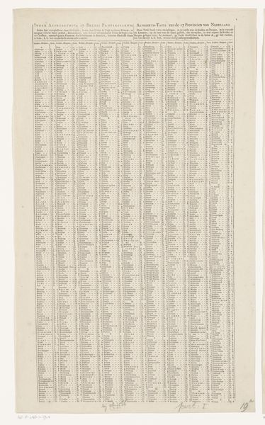
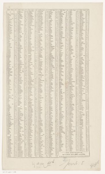
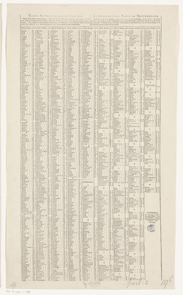
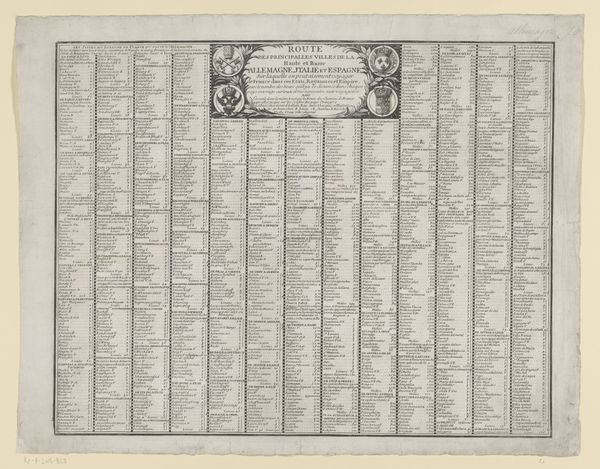
Plaatsregister van alle dorpen en steden te vinden op de bijbehorende kaart (rechterblad) 1679 - 1729
0:00
0:00
carelallard
Rijksmuseum
print, paper, engraving
#
dutch-golden-age
# print
#
old engraving style
#
paper
#
geometric
#
cityscape
#
engraving
Dimensions: height 527 mm, width 325 mm
Copyright: Rijks Museum: Open Domain
Carel Allard produced this print, "Plaatsregister van alle dorpen en steden te vinden op de bijbehorende kaart (rechterblad)," which translates to "Register of all villages and towns to be found on the corresponding map (right sheet)." Prints like this were incredibly important in the 17th century, acting as vital tools for trade and navigation during the Dutch Golden Age, a period of significant economic and cultural prosperity for the Netherlands. This print, more than just a list of places, reflects the era's worldview. It mirrors a society deeply engaged in exploration and commerce, hungry for geographical knowledge. Allard's print gives us a sense of how people cataloged and understood their world. As you look at the columns of names, consider the stories and human experiences tied to each place. Think about the sailors, merchants, and everyday people whose lives were mapped onto these locations. While the print appears to offer objective information, it’s intertwined with the subjective experiences of those who navigated and inhabited this world.
Comments
No comments
Be the first to comment and join the conversation on the ultimate creative platform.
More like this