print, engraving
#
baroque
# print
#
landscape
#
line
#
engraving
Dimensions: height 186.5 cm, width 215.5 cm, depth 4.5 cm, height 195 cm, width 225 cm, depth 10 cm
Copyright: Rijks Museum: Open Domain
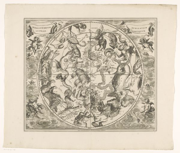
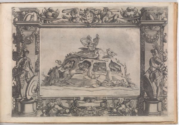
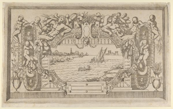
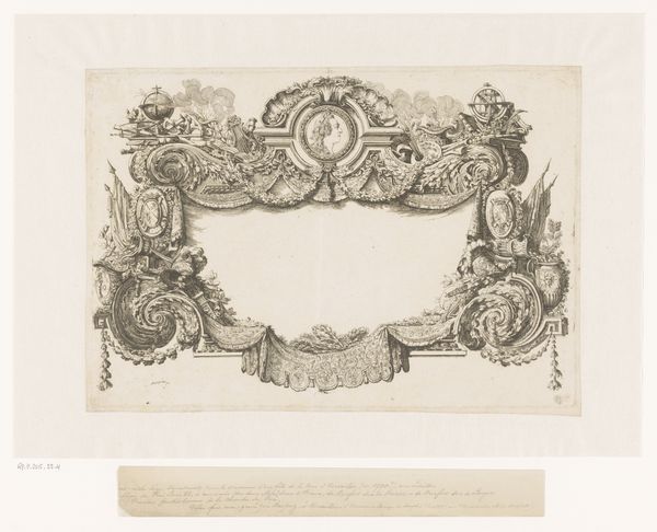
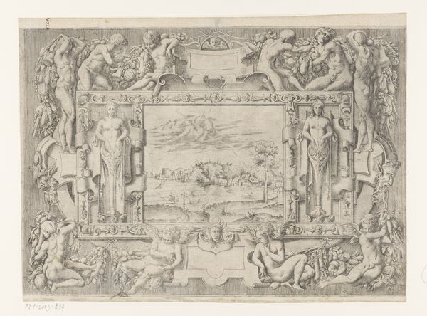
Alexander de Lavaux created this map of Suriname, though the precise date remains unknown. Its composition melds cartographic precision with symbolic adornment, reflecting an era of exploration and colonial ambition. Note how the central map, with its delicate lines and notations, is framed by an elaborate border teeming with allegorical figures, coats of arms, and local produce. This juxtaposition reveals the formal tension between objective representation and subjective interpretation. The cartographic space, meticulously detailed, is contained within a decorative structure that imposes a European vision. Indigenous peoples are reduced to caricatures. De Lavaux engages with the semiotic system inherent in mapping. The map is not just a neutral depiction of geographical space but a culturally encoded document. Its aesthetic choices and omissions reflect prevailing power dynamics and societal values. This is not merely a map; it is a statement about knowledge, ownership, and control.
Comments
No comments
Be the first to comment and join the conversation on the ultimate creative platform.
