Kaart van het Hoogheemraadschap van Delfland (vijfentwintigste deel) 1712 - 1735
0:00
0:00
drawing, print, paper, engraving
#
drawing
#
baroque
#
dutch-golden-age
# print
#
landscape
#
paper
#
cityscape
#
engraving
Dimensions: height 518 mm, width 597 mm
Copyright: Rijks Museum: Open Domain
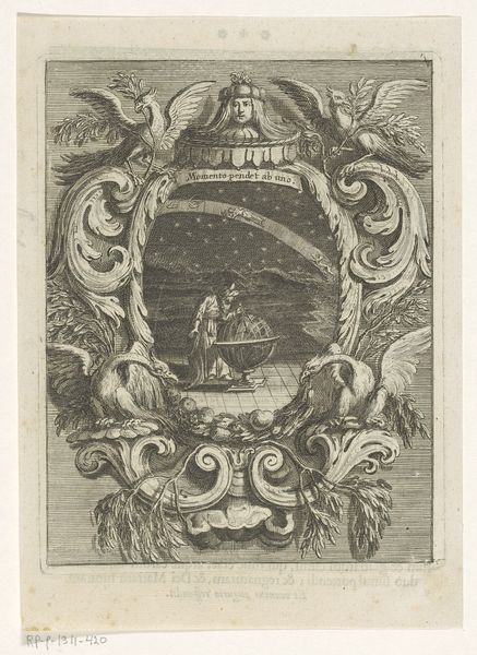
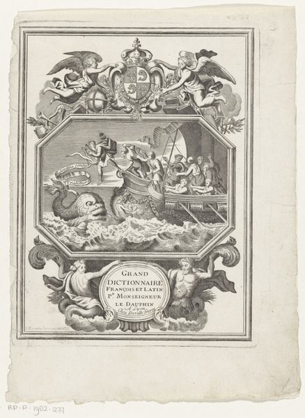
Luggert van Anse created this map of Delfland, using engraving to meticulously detail geographical and symbolic elements. The winged crest, prominently displayed, is not merely decorative; it’s an emblem of power, reminiscent of ancient Roman symbols of authority, like the eagle, seen across empires to legitimize rule and project dominance. This heraldic device, surrounded by ornate flourishes, echoes similar motifs found on medieval shields and Renaissance tapestries, each instance a claim to status and heritage. Consider how the depiction of a female figure measuring the land evokes classical images of the goddess Minerva, associating the act of mapping with wisdom and strategic planning. This archetype has appeared in various guises, from Greek sculptures to allegorical paintings, each time reinforcing a connection between knowledge, order, and control. The power of symbols lies in their ability to tap into our collective memory, to stir emotions and convey complex ideas through simple forms. It's a cyclical journey, where symbols resurface, adapt, and continue to shape our understanding of the world.
Comments
No comments
Be the first to comment and join the conversation on the ultimate creative platform.
More like this