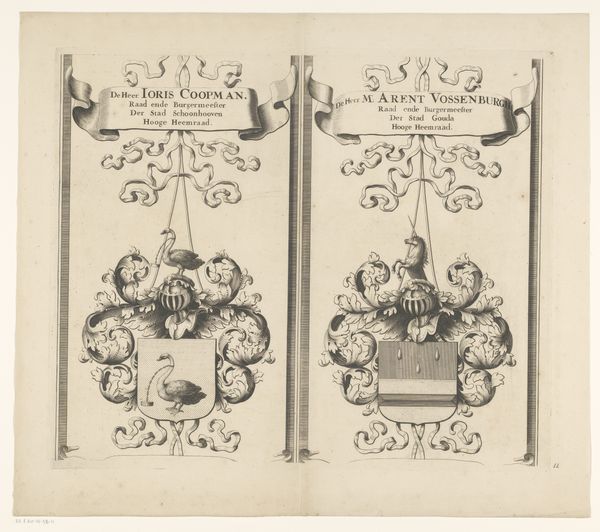
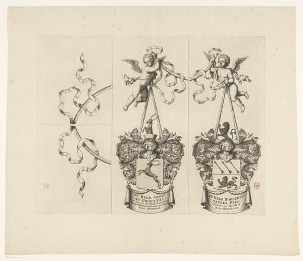
Kaart van het Hoogheemraadschap van de Krimpenerwaard (deel wapenrand) 1683
0:00
0:00
johannesleupenius
Rijksmuseum
graphic-art, print, paper, engraving
#
graphic-art
#
baroque
#
ink paper printed
# print
#
old engraving style
#
paper
#
line
#
decorative-art
#
engraving
Dimensions: height 439 mm, width 526 mm
Copyright: Rijks Museum: Open Domain
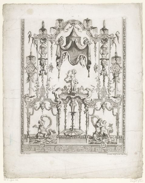
This is a section of a map made by Johannes Leupenius in the latter half of the 17th century, showing the coats of arms of the Krimpenerwaard district in the Netherlands. It's an etching, a printmaking technique that involves drawing an image into a protective wax coating on a metal plate, then using acid to bite the exposed lines, which are then inked and printed. Consider the labor involved. The design had to be painstakingly scratched into the wax. The etcher needed to understand how long to leave the plate in the acid, and how much pressure to apply when printing. This wasn't just reproduction; it was skilled handwork. The sharp lines give the image a sense of precision, befitting its function as part of a map. At the time, the Dutch were pioneers in cartography, a skill that underwrote their maritime empire. This map section reminds us that even seemingly technical images are produced by human hands, embedded in networks of labor and power. The very act of mapping is a way of claiming territory.
Comments
No comments
Be the first to comment and join the conversation on the ultimate creative platform.
More like this