Fotoreproductie van een tekening, voorstellende een plattegrond van Brussel before 1854
0:00
0:00
print, photography
# print
#
photography
#
cityscape
#
realism
Dimensions: height 178 mm, width 288 mm
Copyright: Rijks Museum: Open Domain
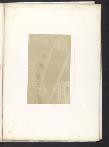
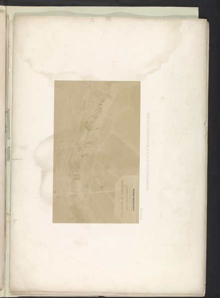
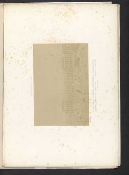
The Bisson Frères made this photographic reproduction of a drawing representing a map of Brussels sometime between 1852 and 1863. During this period, rapid industrialization and urbanization dramatically reshaped European cities. Maps weren't just navigational tools; they were statements of power, reflecting and reinforcing socio-political hierarchies. This map offers a bird's eye view, seemingly objective, yet it subtly dictates how we perceive the city and who it is for. Who gets represented, and who is erased, are critical questions. The neat, orderly layout might mask the lived experiences of the working class, whose labor fueled this urban expansion, or the marginalized communities often pushed to the city's edges. How does this visual order contrast with the messy realities of daily life? Ultimately, the photograph invites us to reflect on how urban planning shapes identity and experience, both then and now.
Comments
No comments
Be the first to comment and join the conversation on the ultimate creative platform.
More like this