Dimensions: 286 mm (height) x 164 mm (width) (bladmaal)
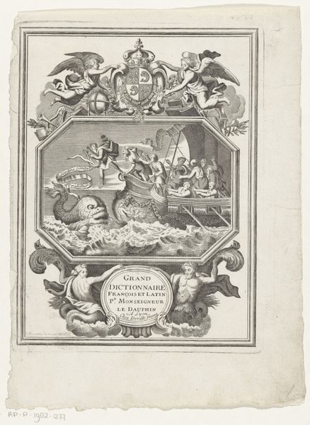
Editor: This is "Pass Kaart over Kattegatet," a print from 1799 by J.F. Clemens. It's an etching and engraving. The detailed line work and the allegorical figures create a very formal and almost propagandistic feel. What strikes you about this piece? Curator: What I see is a visual encoding of power, specifically maritime power in the late 18th century. Notice the positioning of Neptune, the Roman god of the sea, juxtaposed with the royal insignia at the top. Clemens isn't just creating a map; he's constructing a statement about control and ownership over the Kattegat strait. Editor: I hadn't thought of it as a statement about control. The figures seemed purely decorative to me, fitting the Baroque style. Are you saying that the inclusion of classical figures and royal symbols points to a specific political message? Curator: Precisely. Think about who this "pass kaart" would have been for. It wasn't just for any sailor; it was for those with the authority, sanctioned by the crown, to navigate and potentially control this waterway. Consider the implications of visually associating royalty with dominion over natural resources and trade routes. It's not simply aesthetic; it's ideological. The map is a tool to advance this domination. How do you think maps function today? Editor: So it's less about accurate geography, and more about asserting dominance? Thinking about contemporary maps, I guess their neutrality is an illusion because their creation always comes from a perspective, a place of privilege. I’m definitely seeing the layers of meaning embedded in this image now! Curator: Exactly. What seemed like ornamentation serves as a visual language of authority. It compels us to critically examine not only what the map shows, but also who it serves.
Comments
No comments
Be the first to comment and join the conversation on the ultimate creative platform.
